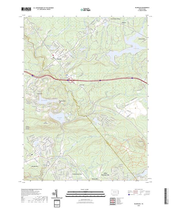
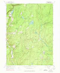
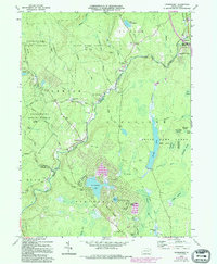
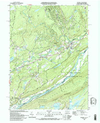
2023 Map of Blakeslee
USGS Topo · Published 2023About this map
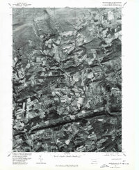
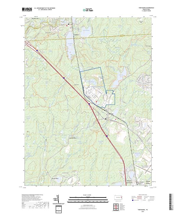
Tobyhanna Creek and Tunkhannock Creek carve through this section of the Pocono plateau, defining a landscape shaped by both natural waterways and modern recreation. The village of Blakeslee serves as a central hub, where Blakeslee Cem preserves local lineage near the intersection of major transit routes like Rte 115. Further south, Albrightsville and the Old Albrightsville Cem sit near the winding course of Mud Run, illustrating the historical settlement patterns of the Carbon and Monroe County border.
Find a feature on this map
55 named features on this map. Tap any name to fly to it.
Don’t see what you’re looking for? This feature index may not catch every label — zoom into the map to look around manually.
Map Details
Editions of this 2023 Blakeslee Map
This is the sole edition of this map. No revisions or reprints were ever made.
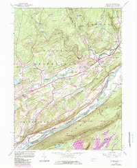
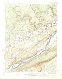
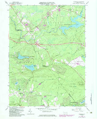
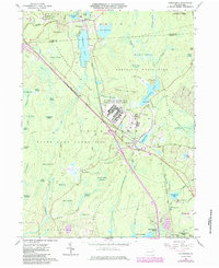
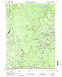
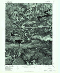
Historical Maps of Albrightsville Through Time
41 maps found

1891 Wallpack
Monroe County, PA
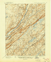
1893 Wallpack
Monroe County, PA

1919 Pocono
Monroe County, PA

1921 Pocono
Monroe County, PA
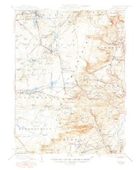
1923 Pocono
Monroe County, PA

1924 Bushkill
Monroe County, PA
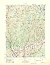
1943 Bushkill
Monroe County, PA

1943 Pocono
Monroe County, PA
1943 Skytop
Monroe County, PA
1944 Bushkill
Monroe County, PA
1947 Bushkill
Monroe County, PA

1947 Skytop
Monroe County, PA

1959 Pocono
Monroe County, PA
1965 Blakeslee
Monroe County, PA
1965 Thornhurst
Monroe County, PA
1965 Tobyhanna
Monroe County, PA
1966 Buck Hill Falls
Monroe County, PA
1976 Blakeslee
Monroe County, PA
1976 Broadheadsville
Monroe County, PA

1976 Buck Hill Falls
Monroe County, PA
1976 Bushkill
Monroe County, PA
1976 Skytop
Monroe County, PA
1976 Thornhurst
Monroe County, PA

1976 Tobyhanna
Monroe County, PA

1992 Blakeslee
Monroe County, PA
1993 Bushkill
Monroe County, PA

1994 Buck Hill Falls
Monroe County, PA

1994 Skytop
Monroe County, PA

1994 Tobyhanna
Monroe County, PA

1997 Buck Hill Falls
Monroe County, PA

1997 Skytop
Monroe County, PA

1997 Thornhurst
Monroe County, PA
1999 Blakeslee
Monroe County, PA
1999 Bushkill
Monroe County, PA
1999 Tobyhanna
Monroe County, PA
2023 Blakeslee
Monroe County, PA
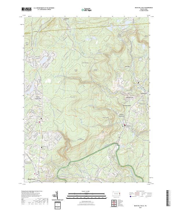
2023 Buck Hill Falls
Monroe County, PA
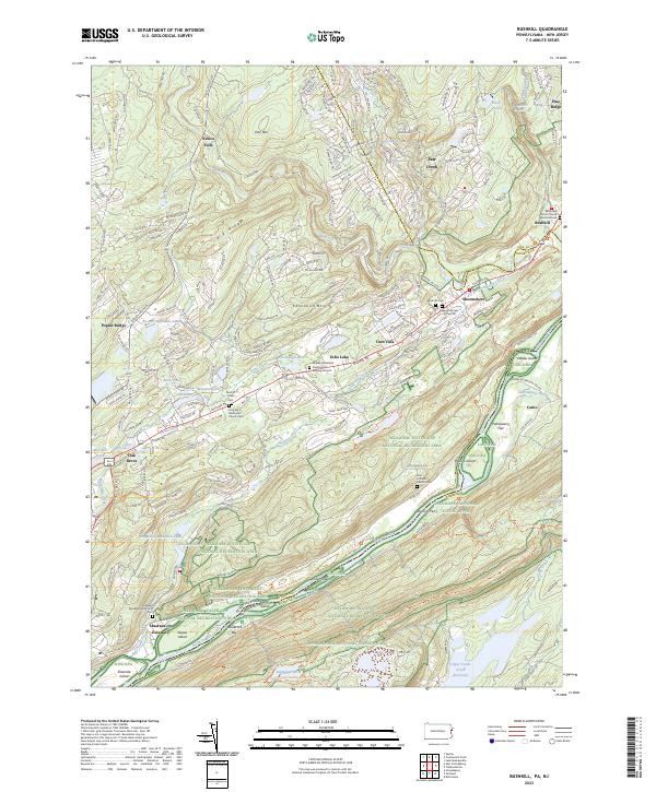
2023 Bushkill
Monroe County, PA
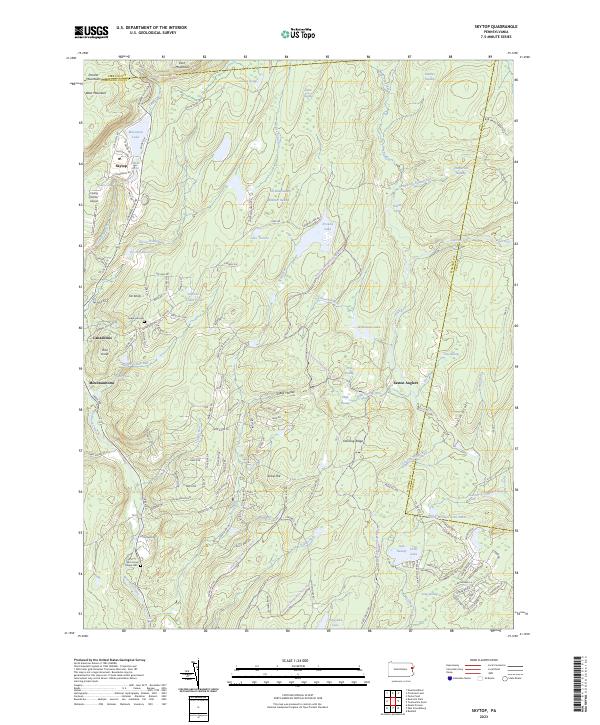
2023 Skytop
Monroe County, PA
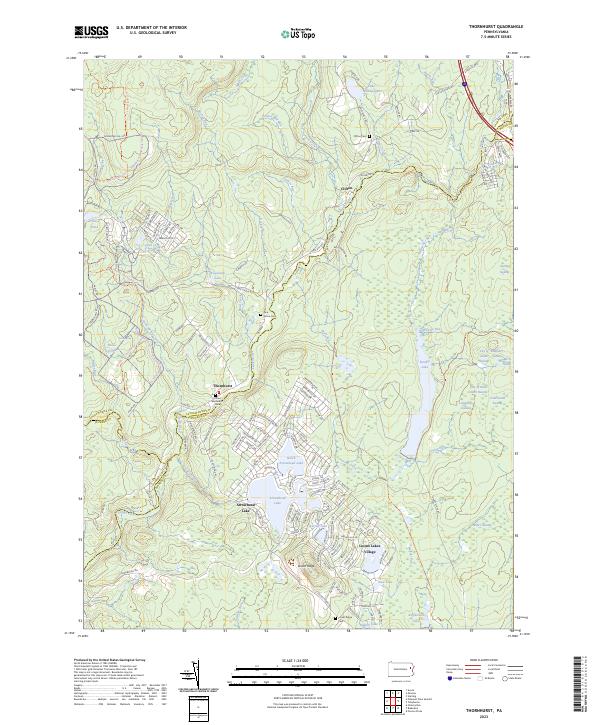
2023 Thornhurst
Monroe County, PA
2023 Tobyhanna
Monroe County, PA
Featured Locations
- Kidder Township, PA
- Towamensing Trails, Penn Forest Township
- Holiday Poconos, Kidder Township
- Lake Harmony, Kidder Township
- Spilt Rock, Kidder Township