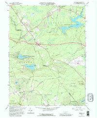
1992 Map of Blakeslee
USGS Topo · Published 1995About this map
Pocono Lake and the winding course of Tobyhanna Creek anchor this landscape, where the recreation and racing industries of the Poconos are clearly established. The map highlights the sprawling layout of the Pocono International Raceway to the east and the Big Boulder Ski Resort overlooking Lake Harmony. These centers of leisure sit alongside established residential communities and private enclaves such as Locust Lakes Village, Split Rock, and Pocono Lake Preserve.
Find a feature on this map
57 named features on this map. Tap any name to fly to it.
Don’t see what you’re looking for? This feature index may not catch every label — zoom into the map to look around manually.
Map Details
Editions of this 1992 Blakeslee Map
This is the sole edition of this map. No revisions or reprints were ever made.
Other maps of this area

1914 · Wind Gap
USGS Topo · 1:62,500

1916 · Wind Gap
USGS Topo · 1:62,500

1919 · Pocono
USGS Topo · 1:62,500

1921 · Pocono
USGS Topo · 1:62,500

1922 · Mauch Chunk
USGS Topo · 1:62,500

1922 · Stoddartsville
USGS Topo · 1:62,500

1923 · Pocono
USGS Topo · 1:62,500

1924 · Stoddartsville
USGS Topo · 1:62,500

1924 · Mauch Chunk
USGS Topo · 1:62,500

1943 · Scranton
USGS Topo · 1:125,000
Featured Places
- Kidder Township, PA
- Pocono Pines, Tobyhanna Township
- Penn Forest Township, PA
- Tobyhanna Township, PA
- Tunkhannock Township, PA