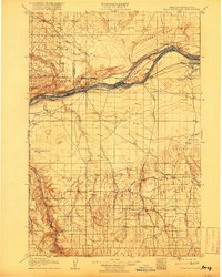
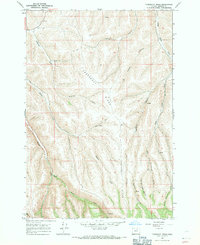
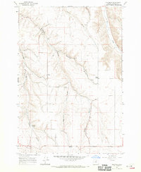
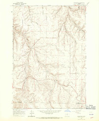
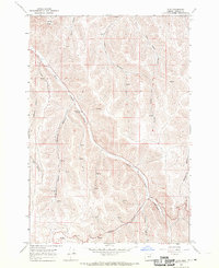
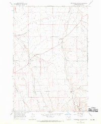
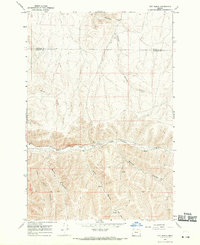
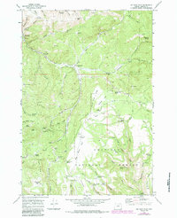
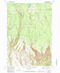
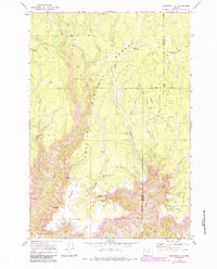
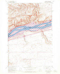
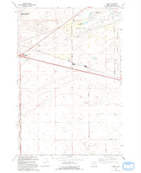
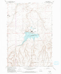
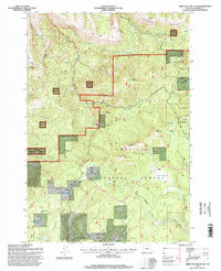
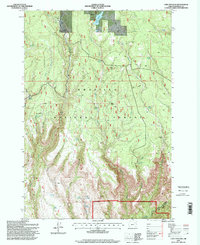
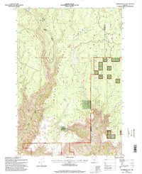
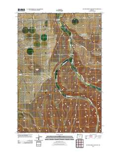
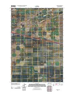
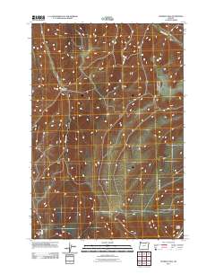
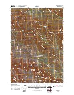
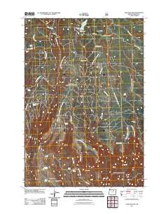
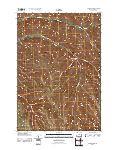
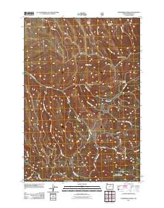
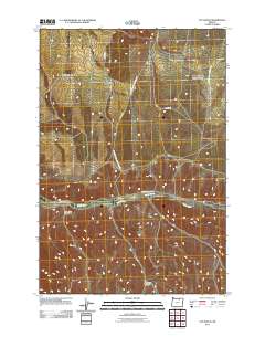
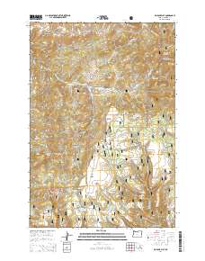
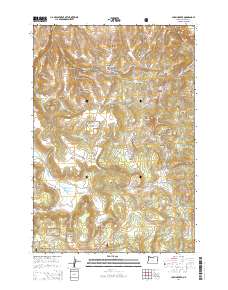
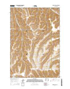
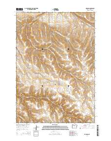
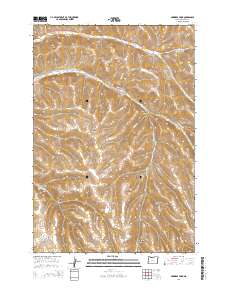
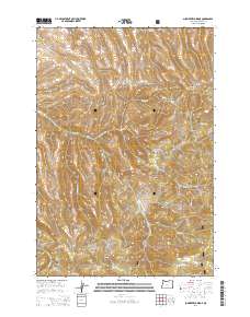
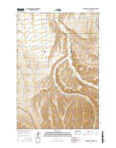
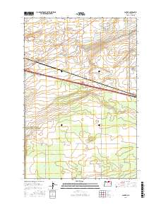
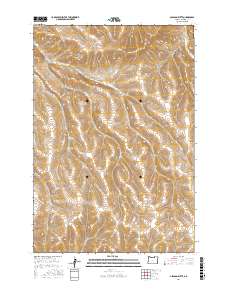
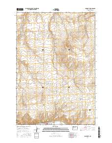
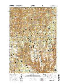
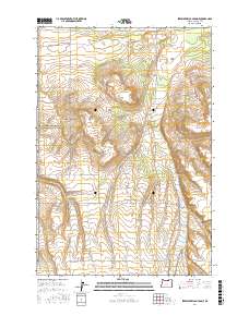
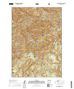
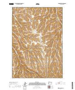
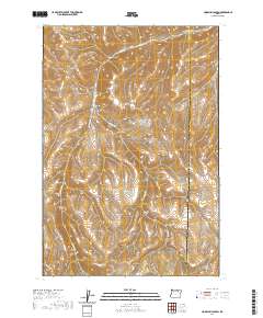
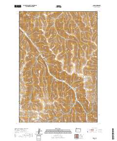
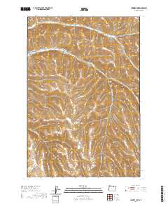
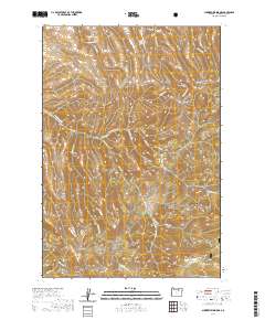
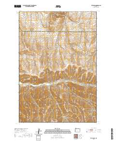
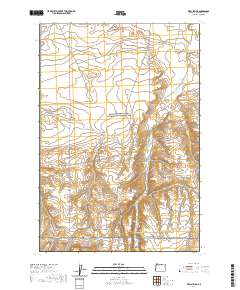
1908 Map of Blalock Island
USGS Topo · Published 1916About this map
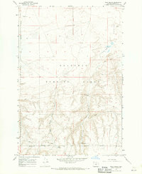
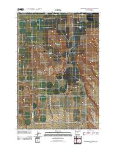
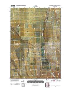
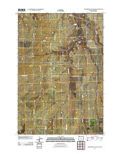
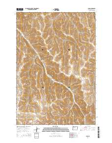
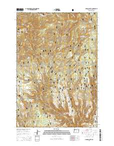
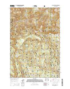
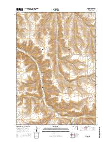
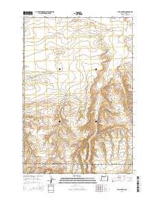
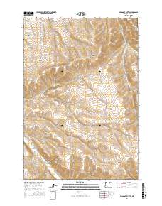
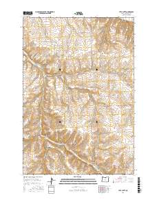
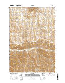
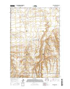
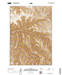
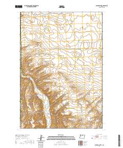
The Columbia River forms a massive central corridor through this landscape, acting as both a natural boundary and a vital transportation artery. On the north bank, the Spokane Portland and Seattle railway runs past Paterson, while the south bank is serviced by the Oregon-Washington Railroad and Navigation Co. Significant islands like Blalock Island and Thanksgiving Island sit within the river's flow before modern damming altered these shorelines. Inland, the terrain is defined by basalt ridges and isolated buttes such as Golgotha Butte and Ella Butte. A network of water sources, including Wells Spr and Taylor Spr, supported early travelers and local settlements like Morgan and Cecil. The presence of the Emigrant Road through Sand Hollow provides a clear link to the overland migration routes that shaped the settlement of the Pacific Northwest.
Find a feature on this map
47 named features on this map. Tap any name to fly to it.
Don’t see what you’re looking for? This feature index may not catch every label — zoom into the map to look around manually.
Map Details
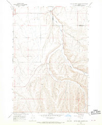
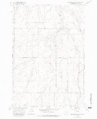
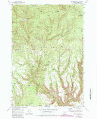
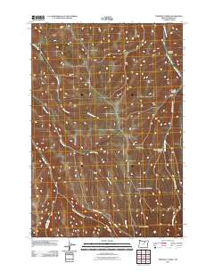
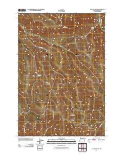
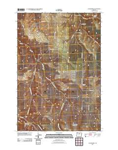
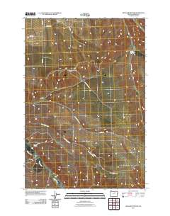
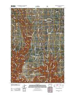
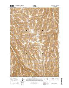
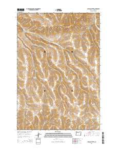
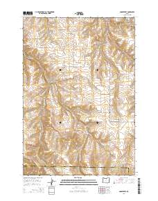
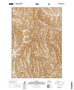
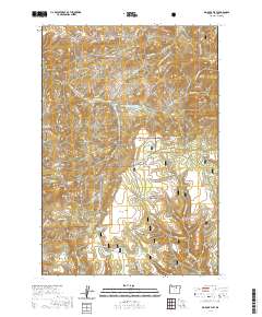
Editions of this 1908 Blalock Island Map
3 editions found

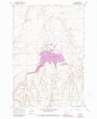
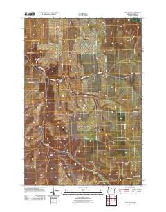
Historical Maps of Boardman Through Time
218 maps found
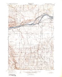
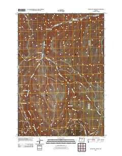
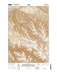
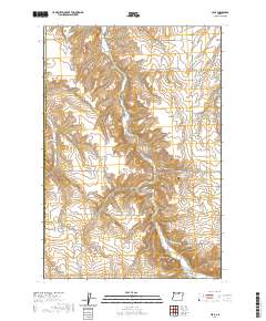
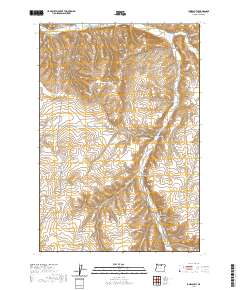
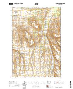
1906 Blalock Island
Morrow County, OR
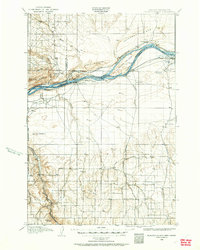
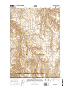
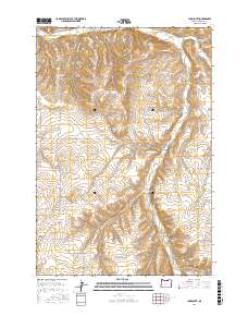
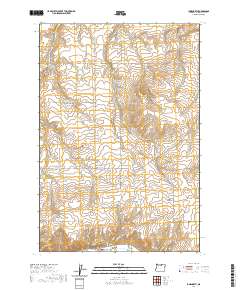
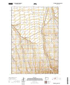
1908 Blalock Island
Morrow County, OR
1962 Clarke
Morrow County, OR
1967 Freezeout Ridge
Morrow County, OR
1968 Butter Creek Junction
Morrow County, OR
1968 Cecil
Morrow County, OR
1968 Dalreed Butte
Morrow County, OR
1968 Eightmile
Morrow County, OR
1968 Ella
Morrow County, OR
1968 Franklin Hill
Morrow County, OR
1968 Gleason Butte
Morrow County, OR
1968 Gooseberry
Morrow County, OR
1968 Hoodlum Canyon
Morrow County, OR
1968 Ione North
Morrow County, OR
1968 Ione South
Morrow County, OR
1968 Lena
Morrow County, OR
1968 Ruggs
Morrow County, OR
1968 Skinners Fork
Morrow County, OR
1968 Strawberry Canyon NE
Morrow County, OR
1968 Strawberry Canyon SE
Morrow County, OR
1968 Strawberry Canyon SW
Morrow County, OR
1968 Swaggart Buttes
Morrow County, OR
1968 Utts Butte
Morrow County, OR
1968 Vey Ranch
Morrow County, OR
1968 Well Spring
Morrow County, OR
1969 Arbuckle Mtn
Morrow County, OR
1969 Balm Canyon
Morrow County, OR
1969 Big Rock Flat
Morrow County, OR
1969 Buttermilk Canyon
Morrow County, OR
1969 Chapin Creek
Morrow County, OR
1969 Hardman
Morrow County, OR
1969 Lake Penland
Morrow County, OR
1969 Madison Butte
Morrow County, OR
1969 Matlock Prairie
Morrow County, OR
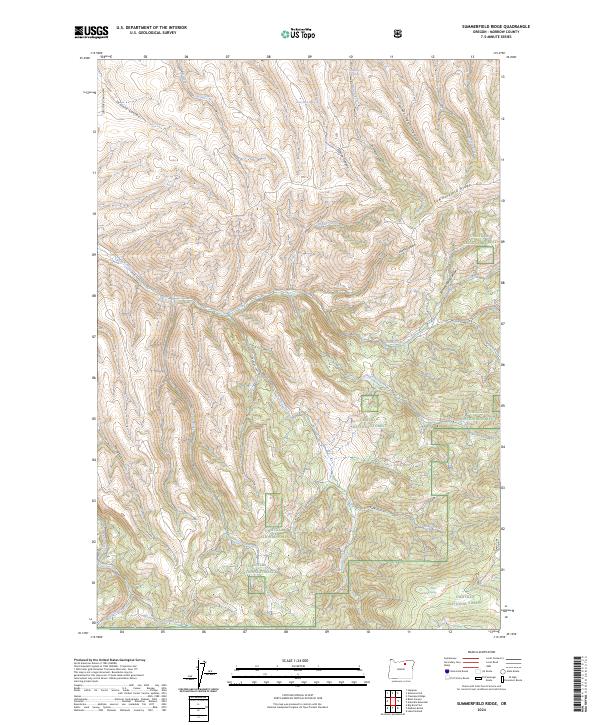
1969 Summerfield Ridge
Morrow County, OR
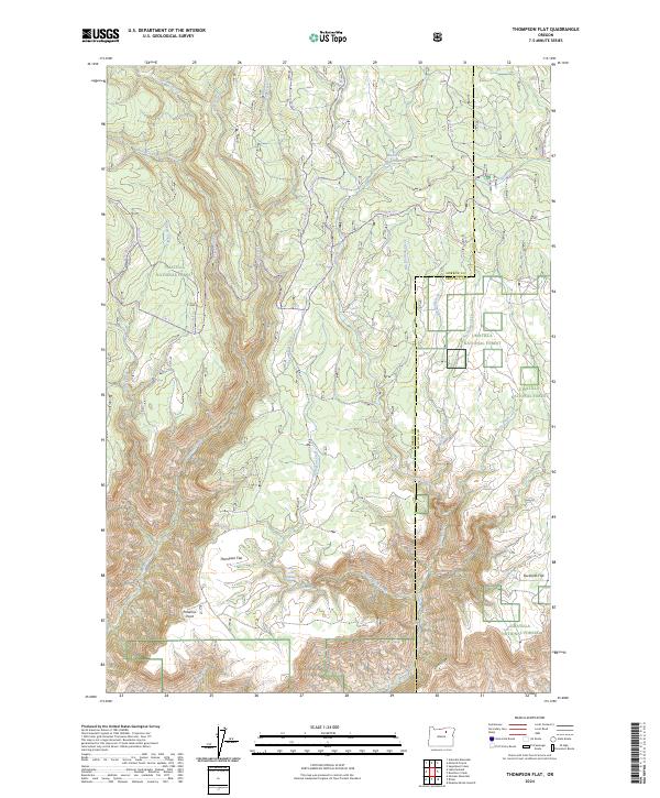
1969 Thompson Flat
Morrow County, OR
1970 Alderdale
Morrow County, OR
1993 Clarke
Morrow County, OR
1993 Ella
Morrow County, OR
1995 Arbuckle Mountain
Morrow County, OR
1995 Balm Canyon
Morrow County, OR
1995 Big Rock Flat
Morrow County, OR
1995 Chapin Creek
Morrow County, OR
1995 Lake Penland
Morrow County, OR
1995 Madison Butte
Morrow County, OR
1995 Matlock Prairie
Morrow County, OR
1995 Summerfield Ridge
Morrow County, OR
1995 Thompson Flat
Morrow County, OR
2011 Arbuckle Mountain
Morrow County, OR
2011 Balm Canyon
Morrow County, OR
2011 Big Rock Flat
Morrow County, OR
2011 Butter Creek Junction
Morrow County, OR
2011 Buttermilk Canyon
Morrow County, OR
2011 Cecil
Morrow County, OR
2011 Chapin Creek
Morrow County, OR
2011 Clarke
Morrow County, OR
2011 Dalreed Butte
Morrow County, OR
2011 Eightmile
Morrow County, OR
2011 Ella
Morrow County, OR
2011 Franklin Hill
Morrow County, OR
2011 Freezeout Ridge
Morrow County, OR
2011 Gleason Butte
Morrow County, OR
2011 Gooseberry
Morrow County, OR
2011 Hardman
Morrow County, OR
2011 Hoodlum Canyon
Morrow County, OR
2011 Ione North
Morrow County, OR
2011 Ione South
Morrow County, OR
2011 Lake Penland
Morrow County, OR
2011 Lena
Morrow County, OR
2011 Madison Butte
Morrow County, OR
2011 Matlock Prairie
Morrow County, OR

2011 Ruggs
Morrow County, OR
2011 Skinners Fork
Morrow County, OR
2011 Strawberry Canyon NE
Morrow County, OR
2011 Strawberry Canyon SE
Morrow County, OR
2011 Strawberry Canyon SW
Morrow County, OR
2011 Summerfield Ridge
Morrow County, OR
2011 Swaggart Buttes
Morrow County, OR
2011 Thompson Flat
Morrow County, OR
2011 Utts Butte
Morrow County, OR
2011 Vey Ranch
Morrow County, OR
2011 Well Spring
Morrow County, OR
2014 Arbuckle Mountain
Morrow County, OR
2014 Balm Canyon
Morrow County, OR
2014 Big Rock Flat
Morrow County, OR
2014 Butter Creek Junction
Morrow County, OR
2014 Buttermilk Canyon
Morrow County, OR
2014 Cecil
Morrow County, OR
2014 Chapin Creek
Morrow County, OR
2014 Clarke
Morrow County, OR
2014 Dalreed Butte
Morrow County, OR
2014 Eightmile
Morrow County, OR

2014 Ella
Morrow County, OR
2014 Franklin Hill
Morrow County, OR
2014 Freezeout Ridge
Morrow County, OR
2014 Gleason Butte
Morrow County, OR
2014 Gooseberry
Morrow County, OR
2014 Hardman
Morrow County, OR
2014 Hoodlum Canyon
Morrow County, OR
2014 Ione North
Morrow County, OR

2014 Ione South
Morrow County, OR
2014 Lake Penland
Morrow County, OR
2014 Lena
Morrow County, OR
2014 Madison Butte
Morrow County, OR
2014 Matlock Prairie
Morrow County, OR
2014 Ruggs
Morrow County, OR
2014 Skinners Fork
Morrow County, OR
2014 Strawberry Canyon NE
Morrow County, OR
2014 Strawberry Canyon SE
Morrow County, OR
2014 Strawberry Canyon SW
Morrow County, OR
2014 Summerfield Ridge
Morrow County, OR
2014 Swaggart Buttes
Morrow County, OR
2014 Thompson Flat
Morrow County, OR

2014 Utts Butte
Morrow County, OR
2014 Vey Ranch
Morrow County, OR
2014 Well Spring
Morrow County, OR
2017 Arbuckle Mountain
Morrow County, OR
2017 Balm Canyon
Morrow County, OR
2017 Big Rock Flat
Morrow County, OR
2017 Butter Creek Junction
Morrow County, OR
2017 Buttermilk Canyon
Morrow County, OR
2017 Cecil
Morrow County, OR
2017 Chapin Creek
Morrow County, OR
2017 Clarke
Morrow County, OR
2017 Dalreed Butte
Morrow County, OR
2017 Eightmile
Morrow County, OR
2017 Ella
Morrow County, OR

2017 Franklin Hill
Morrow County, OR

2017 Freezeout Ridge
Morrow County, OR
2017 Gleason Butte
Morrow County, OR
2017 Gooseberry
Morrow County, OR
2017 Hardman
Morrow County, OR
2017 Hoodlum Canyon
Morrow County, OR
2017 Ione North
Morrow County, OR
2017 Ione South
Morrow County, OR
2017 Lake Penland
Morrow County, OR
2017 Lena
Morrow County, OR
2017 Madison Butte
Morrow County, OR
2017 Matlock Prairie
Morrow County, OR
2017 Ruggs
Morrow County, OR
2017 Skinners Fork
Morrow County, OR
2017 Strawberry Canyon NE
Morrow County, OR
2017 Strawberry Canyon SE
Morrow County, OR
2017 Strawberry Canyon SW
Morrow County, OR
2017 Summerfield Ridge
Morrow County, OR
2017 Swaggart Buttes
Morrow County, OR

2017 Thompson Flat
Morrow County, OR
2017 Utts Butte
Morrow County, OR
2017 Vey Ranch
Morrow County, OR
2017 Well Spring
Morrow County, OR
2020 Arbuckle Mountain
Morrow County, OR
2020 Balm Canyon
Morrow County, OR
2020 Big Rock Flat
Morrow County, OR
2020 Butter Creek Junction
Morrow County, OR
2020 Buttermilk Canyon
Morrow County, OR
2020 Cecil
Morrow County, OR
2020 Chapin Creek
Morrow County, OR
2020 Clarke
Morrow County, OR
2020 Dalreed Butte
Morrow County, OR
2020 Eightmile
Morrow County, OR
2020 Ella
Morrow County, OR
2020 Franklin Hill
Morrow County, OR
2020 Freezeout Ridge
Morrow County, OR
2020 Gleason Butte
Morrow County, OR
2020 Gooseberry
Morrow County, OR
2020 Hardman
Morrow County, OR
2020 Hoodlum Canyon
Morrow County, OR
2020 Ione North
Morrow County, OR
2020 Ione South
Morrow County, OR
2020 Lake Penland
Morrow County, OR
2020 Lena
Morrow County, OR
2020 Madison Butte
Morrow County, OR
2020 Matlock Prairie
Morrow County, OR
2020 Ruggs
Morrow County, OR
2020 Skinners Fork
Morrow County, OR
2020 Strawberry Canyon NE
Morrow County, OR
2020 Strawberry Canyon SE
Morrow County, OR
2020 Strawberry Canyon SW
Morrow County, OR
2020 Summerfield Ridge
Morrow County, OR
2020 Swaggart Buttes
Morrow County, OR
2020 Thompson Flat
Morrow County, OR
2020 Utts Butte
Morrow County, OR
2020 Vey Ranch
Morrow County, OR
2020 Well Spring
Morrow County, OR
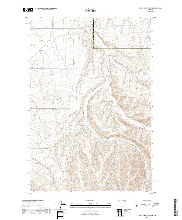
2023 Butter Creek Junction
Morrow County, OR

2023 Dalreed Butte
Morrow County, OR
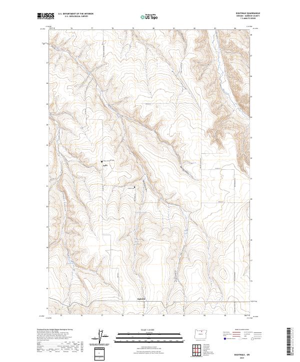
2023 Eightmile
Morrow County, OR
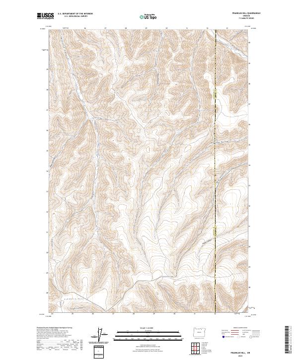
2023 Franklin Hill
Morrow County, OR
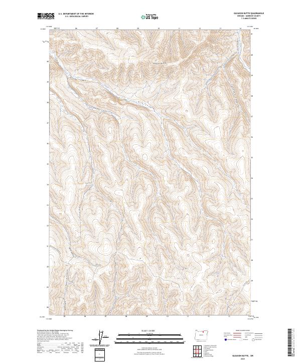
2023 Gleason Butte
Morrow County, OR
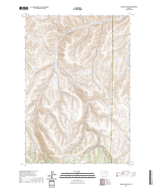
2023 Hoodlum Canyon
Morrow County, OR
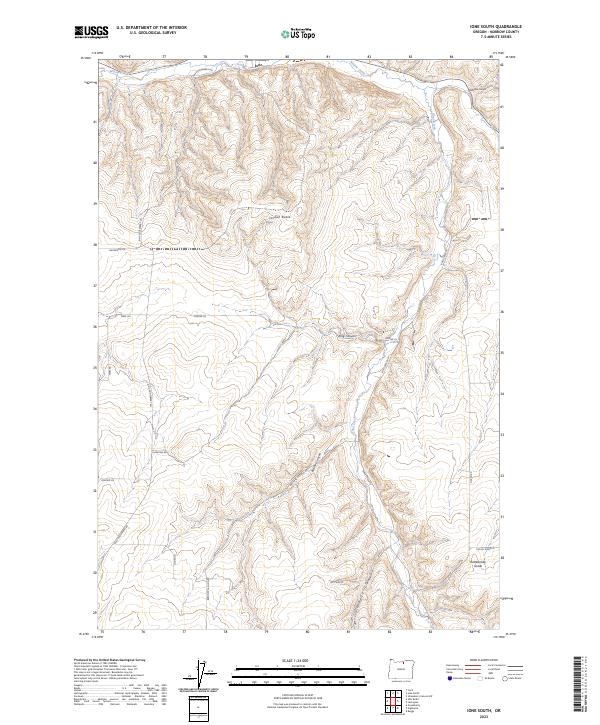
2023 Ione South
Morrow County, OR
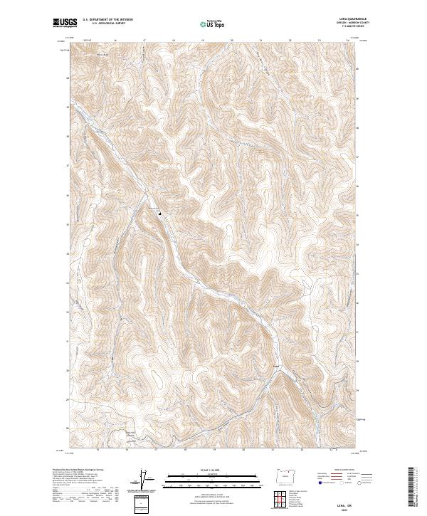
2023 Lena
Morrow County, OR
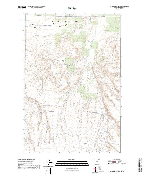
2023 Strawberry Canyon NE
Morrow County, OR
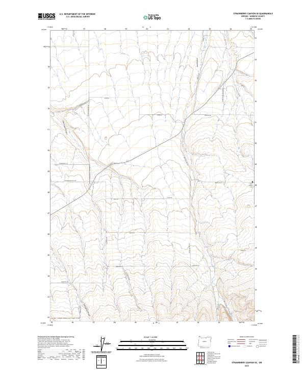
2023 Strawberry Canyon SE
Morrow County, OR
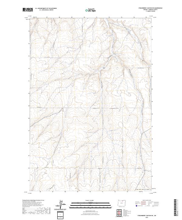
2023 Strawberry Canyon SW
Morrow County, OR
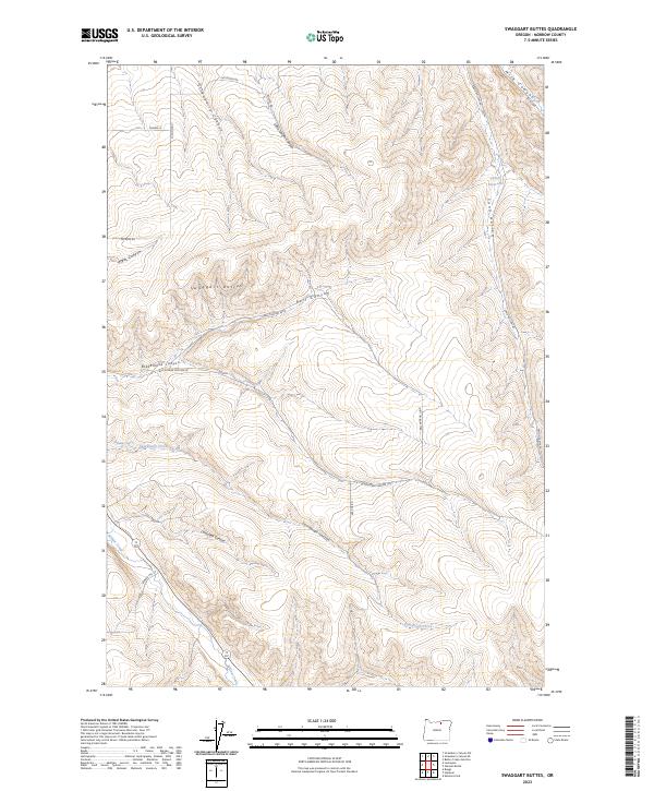
2023 Swaggart Buttes
Morrow County, OR
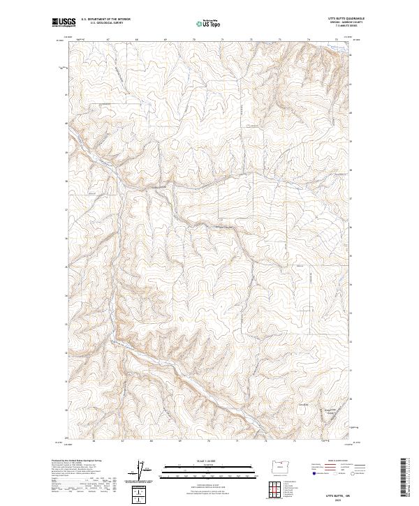
2023 Utts Butte
Morrow County, OR
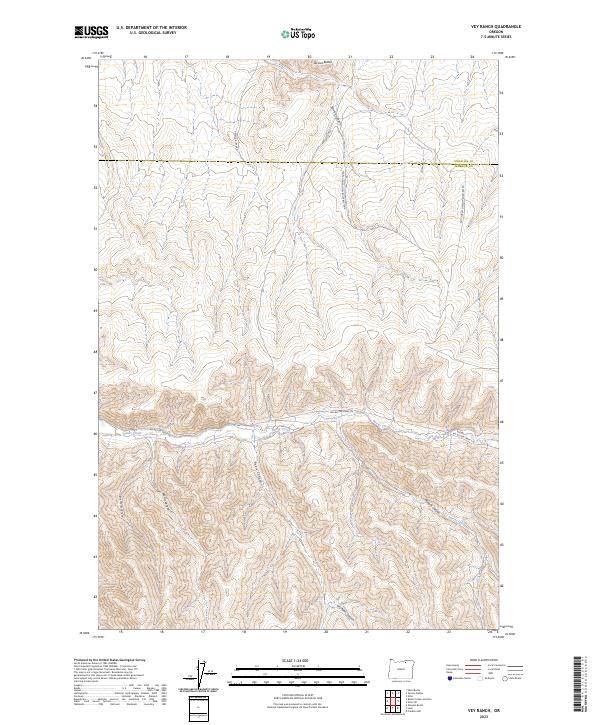
2023 Vey Ranch
Morrow County, OR
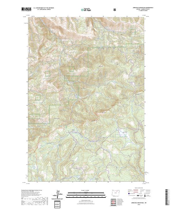
2024 Arbuckle Mountain
Morrow County, OR
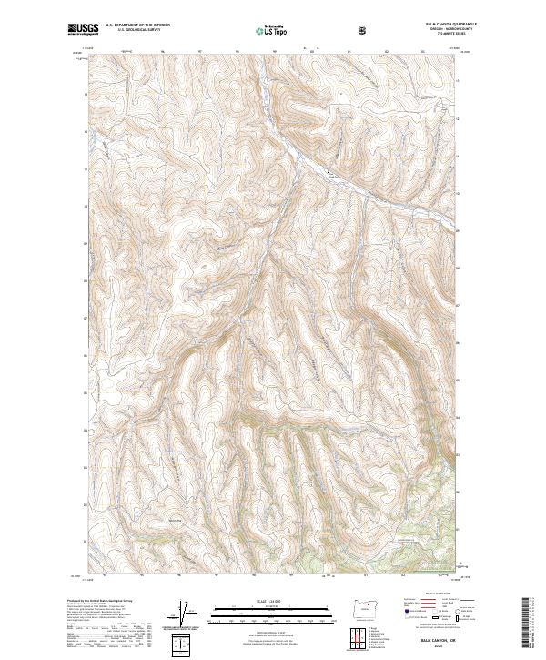
2024 Balm Canyon
Morrow County, OR
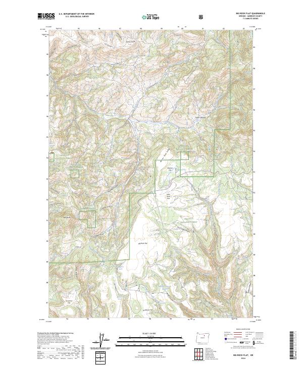
2024 Big Rock Flat
Morrow County, OR
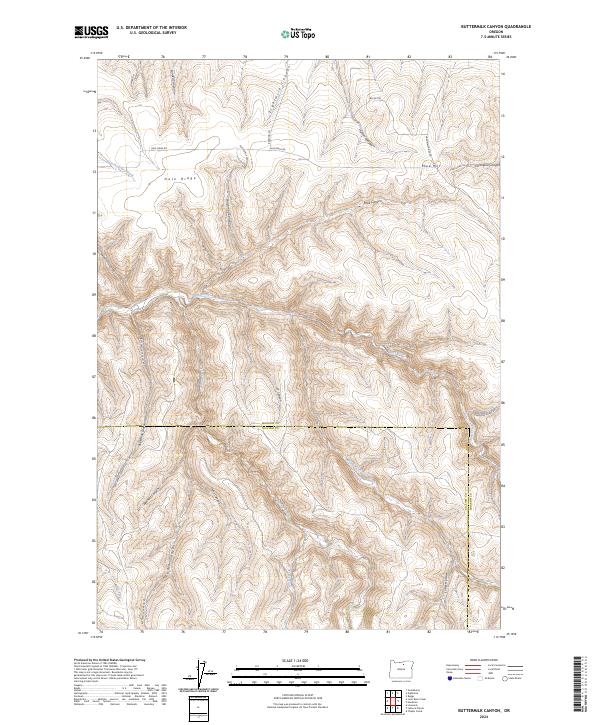
2024 Buttermilk Canyon
Morrow County, OR
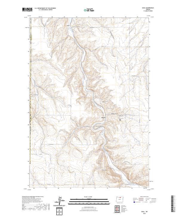
2024 Cecil
Morrow County, OR
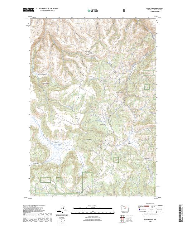
2024 Chapin Creek
Morrow County, OR
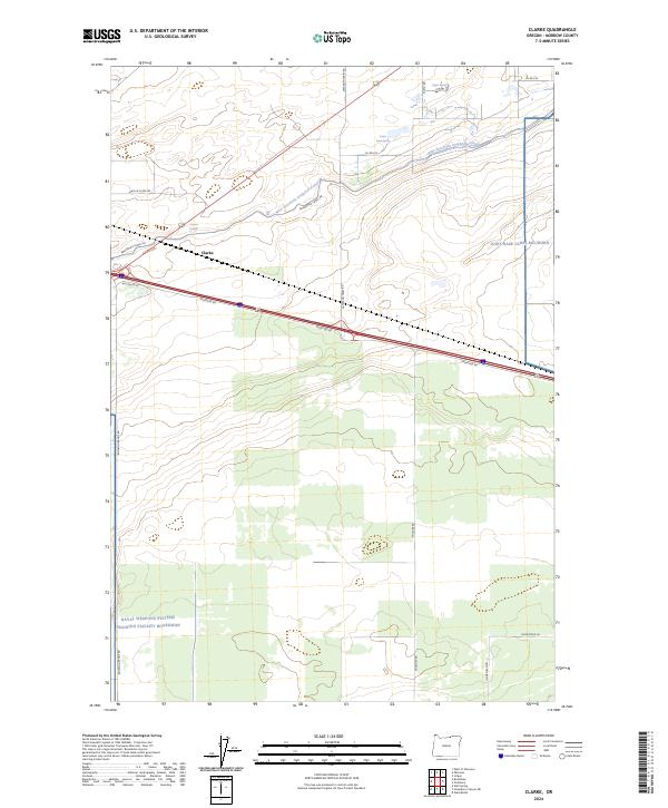
2024 Clarke
Morrow County, OR
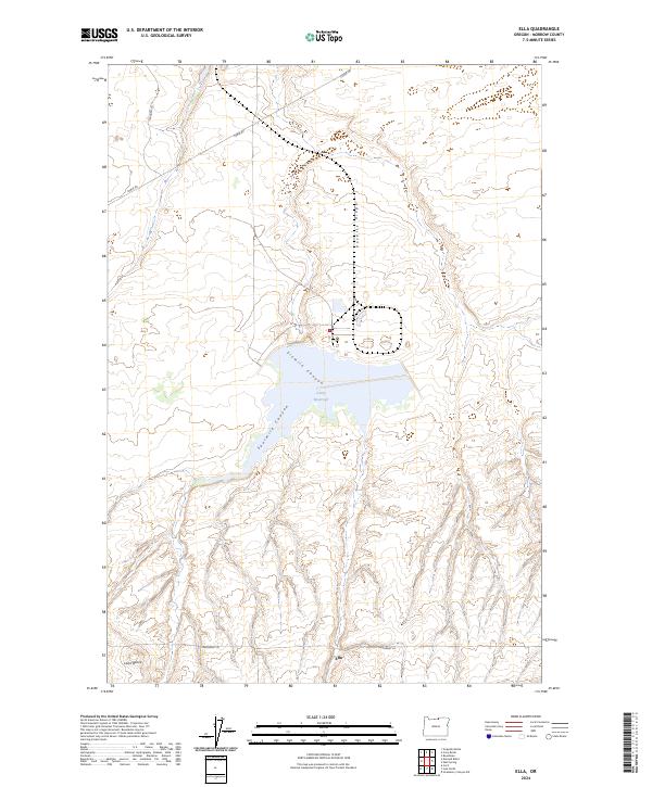
2024 Ella
Morrow County, OR
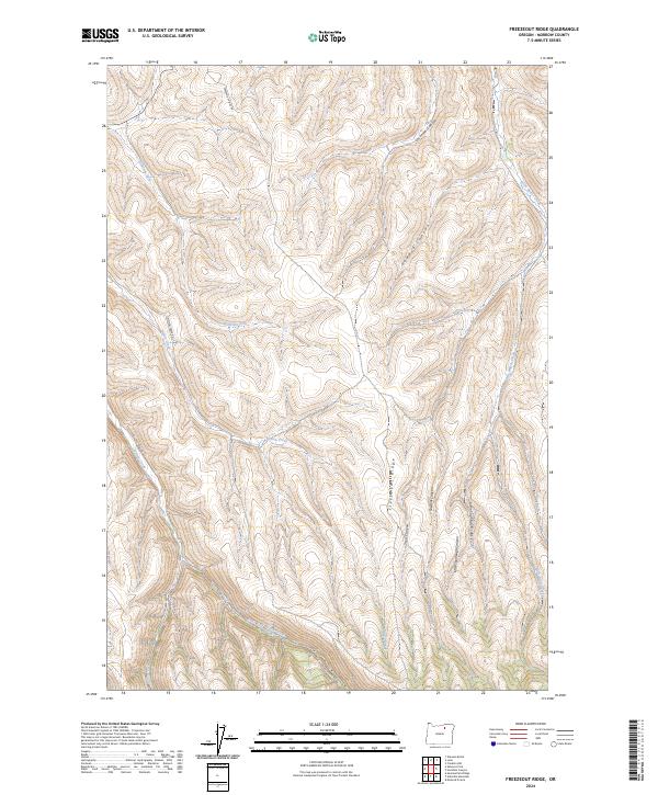
2024 Freezeout Ridge
Morrow County, OR
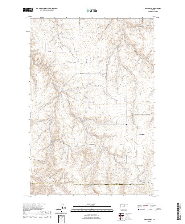
2024 Gooseberry
Morrow County, OR
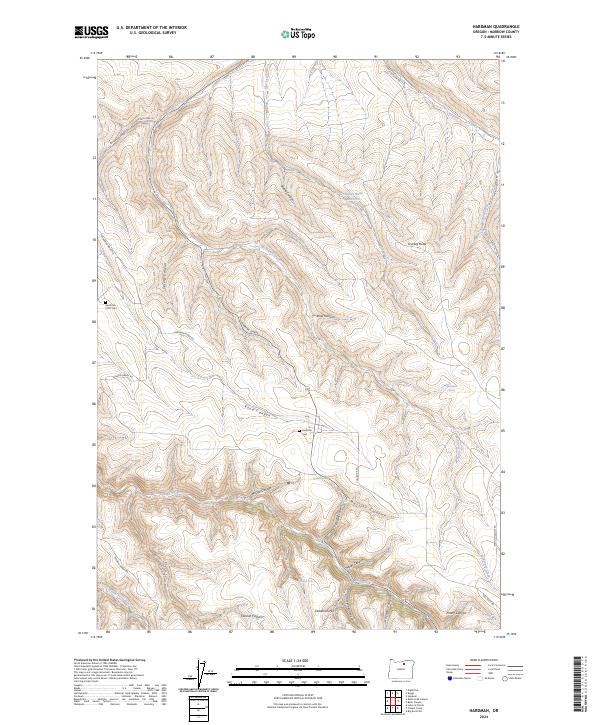
2024 Hardman
Morrow County, OR
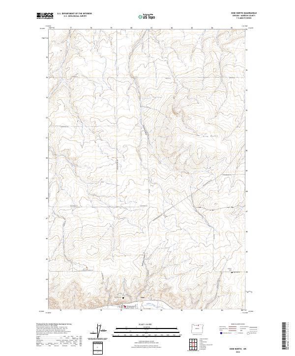
2024 Ione North
Morrow County, OR
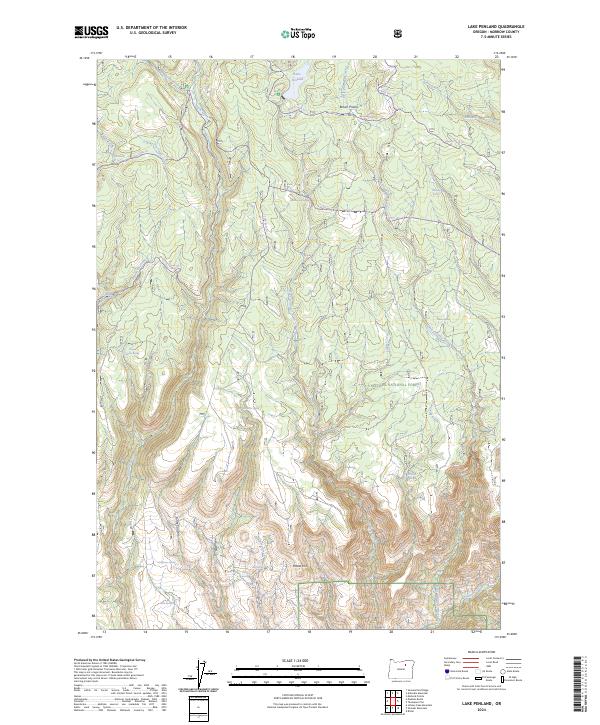
2024 Lake Penland
Morrow County, OR
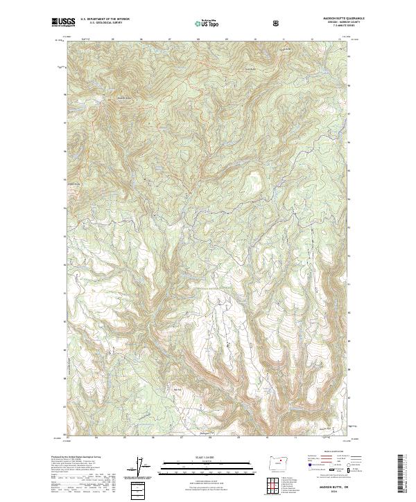
2024 Madison Butte
Morrow County, OR
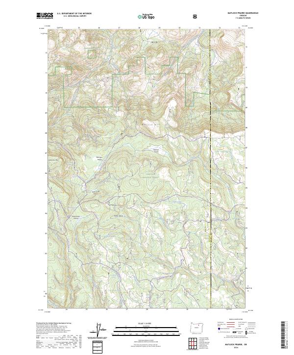
2024 Matlock Prairie
Morrow County, OR
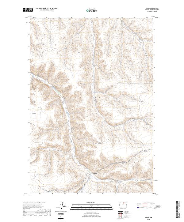
2024 Ruggs
Morrow County, OR
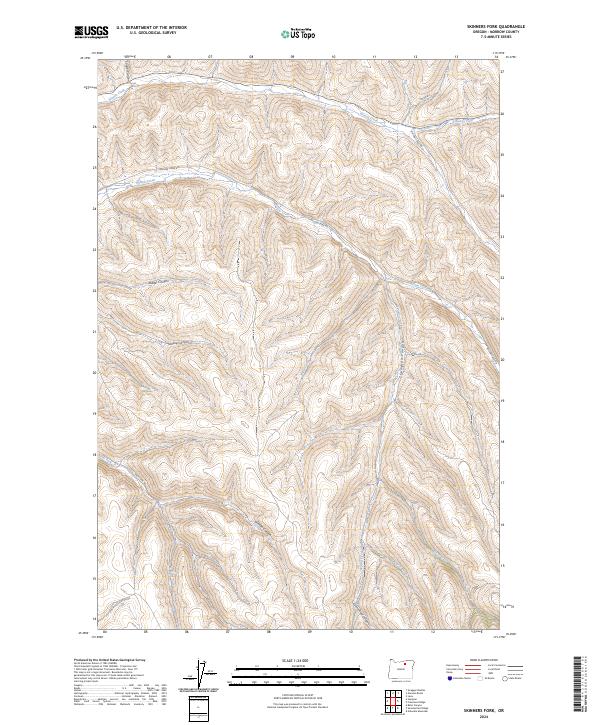
2024 Skinners Fork
Morrow County, OR
2024 Summerfield Ridge
Morrow County, OR
2024 Thompson Flat
Morrow County, OR
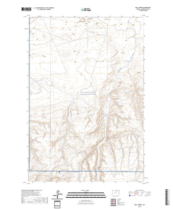
2024 Well Spring
Morrow County, OR