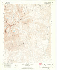
1967 Map of Blanca Peak
USGS Topo · Published 1971About this map
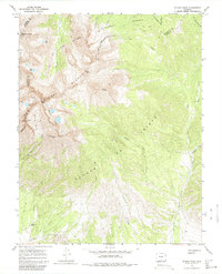
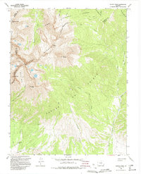
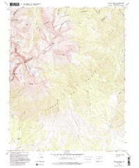
The Sangre De Cristo range dominates this high-altitude topographic study, centered on the towering massif of Blanca Peak. The map illustrates the convergence of the Rio Grande National Forest and San Isabel National Forest, defined by high alpine basins and jagged peaks. Significant landmarks include the Iron Nipple, Mount Lindsey, and Little Bear Peak, which overlook the glacial cirques of Winchell Lakes and Crater Lake. To the south, the landscape transitions toward the San Luis Valley Grant BDY, where the high-mountain drainage of Cottonwood Creek and Ute Creek flows toward the lower elevations. Isolated mining activity is noted by several Prospects and a Mine near the headwaters of the Huerfano River, while the Arrowhead Ranch marks one of the few human settlements in the lower reaches of the quadrangle.
Find a feature on this map
43 named features on this map. Tap any name to fly to it.
Don’t see what you’re looking for? This feature index may not catch every label — zoom into the map to look around manually.
Map Details
Editions of this 1967 Blanca Peak Map
7 editions found
Other maps of this area

1889 · Huerfano Park
USGS Topo · 1:125,000

1892 · Huerfano Park
USGS Topo · 1:125,000

1954 · Trinidad
USGS Topo · 1:250,000

1955 · Trinidad
USGS Topo · 1:250,000

1958 · Trinidad
USGS Topo · 1:250,000

1959 · Trinidad
USGS Topo · 1:250,000

1965 · Blanca
USGS Topo · 1:24,000

1965 · Zapata Ranch
USGS Topo · 1:24,000

1965 · Twin Peaks
USGS Topo · 1:24,000

1967 · Mosca Pass
USGS Topo · 1:24,000