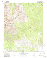
1967 Map of Blanca Peak
USGS Topo · Published 1980About this map
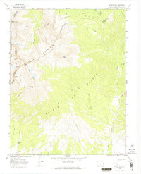
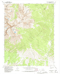
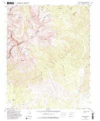
San Isabel National Forest and Rio Grande National Forest converge on this high-altitude landscape, where the Sangre de Cristo range rises to its highest elevations. Surveyed in the late 1960s, the terrain is defined by massive peaks including Blanca Peak and Mount Lindsey, separated by deep glacial basins like Blanca Basin. Evidence of early mountaineering and resource extraction is visible through numerous prospects, a mine near Blanca Creek, and the presence of a Pack Trail winding toward Crater Lake. The lower elevations reveal the San Luis Valley Grant Bdy and the Arrowhead Ranch near Ikee Creek, indicating the transition from private ranching lands to protected federal forests. Water sources such as the Huerfano River and Ute Creek drain these alpine heights, linked by historic routes like the Ute Trail (Pack).
Find a feature on this map
46 named features on this map. Tap any name to fly to it.
Don’t see what you’re looking for? This feature index may not catch every label — zoom into the map to look around manually.
Map Details
Editions of this 1967 Blanca Peak Map
7 editions found
Other maps of this area

1889 · Huerfano Park
USGS Topo · 1:125,000

1892 · Huerfano Park
USGS Topo · 1:125,000

1954 · Trinidad
USGS Topo · 1:250,000

1955 · Trinidad
USGS Topo · 1:250,000

1958 · Trinidad
USGS Topo · 1:250,000

1959 · Trinidad
USGS Topo · 1:250,000

1965 · Blanca
USGS Topo · 1:24,000

1965 · Zapata Ranch
USGS Topo · 1:24,000

1965 · Twin Peaks
USGS Topo · 1:24,000

1967 · Mosca Pass
USGS Topo · 1:24,000