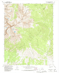
1967 Map of Blanca Peak
USGS Topo · Published 1995About this map
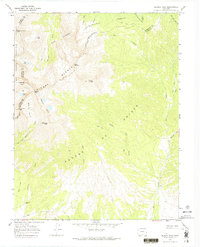
The high alpine crest of Sierra Blanca dominates this mid-1960s terrain, marking a jagged meeting point for Alamosa, Huerfano, and Costilla counties. Significant peaks such as Blanca Peak and Little Bear Peak tower over glacial features like Blanca Basin and the remote Winchell Lakes. The landscape is a network of drainage systems, with the Huerfano River and Ute Creek carving deep valleys through the Sangre De Cristo range.
Find a feature on this map
39 named features on this map. Tap any name to fly to it.
Don’t see what you’re looking for? This feature index may not catch every label — zoom into the map to look around manually.
Map Details
Editions of this 1967 Blanca Peak Map
7 editions found
Other maps of this area

1889 · Huerfano Park
USGS Topo · 1:125,000

1892 · Huerfano Park
USGS Topo · 1:125,000

1954 · Trinidad
USGS Topo · 1:250,000

1955 · Trinidad
USGS Topo · 1:250,000

1958 · Trinidad
USGS Topo · 1:250,000

1959 · Trinidad
USGS Topo · 1:250,000

1965 · Blanca
USGS Topo · 1:24,000

1965 · Zapata Ranch
USGS Topo · 1:24,000

1965 · Twin Peaks
USGS Topo · 1:24,000

1967 · Mosca Pass
USGS Topo · 1:24,000