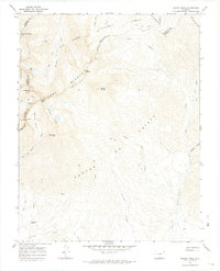
1967 Map of Blanca Peak
USGS Topo · Published 1974About this map
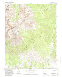
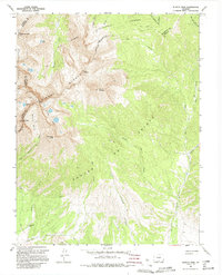
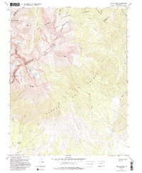
Sierra Blanca and the Sangre de Cristo range dominate this 1967 survey, providing a precise record of one of Colorado's most high-altitude landscapes. The map centers on the massive peaks of Blanca Peak, Little Bear Peak, and Ellingwood Point, documenting the technical terrain and drainage systems of the Isabel National Forest and Rio Grande National Forest. While the majority of the map depicts high alpine basins and peaks like Mount Lindsey, evidence of human activity appears in the form of isolated mines and several prospects scattered near the Blanca Basin.
Find a feature on this map
44 named features on this map. Tap any name to fly to it.
Don’t see what you’re looking for? This feature index may not catch every label — zoom into the map to look around manually.
Map Details
Editions of this 1967 Blanca Peak Map
7 editions found
Other maps of this area

1889 · Huerfano Park
USGS Topo · 1:125,000

1892 · Huerfano Park
USGS Topo · 1:125,000

1954 · Trinidad
USGS Topo · 1:250,000

1955 · Trinidad
USGS Topo · 1:250,000

1958 · Trinidad
USGS Topo · 1:250,000

1959 · Trinidad
USGS Topo · 1:250,000

1965 · Blanca
USGS Topo · 1:24,000

1965 · Zapata Ranch
USGS Topo · 1:24,000

1965 · Twin Peaks
USGS Topo · 1:24,000

1967 · Mosca Pass
USGS Topo · 1:24,000