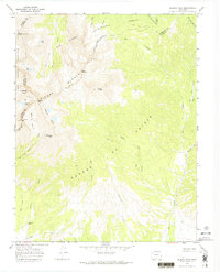
1967 Map of Blanca Peak
USGS Topo · Published 1974About this map
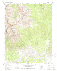
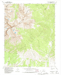
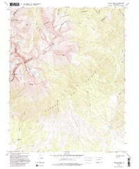
Sierra Blanca dominates this mid-century survey of the high alpine terrain where the boundaries of Alamosa, Huerfano, and Costilla counties converge. The map documents a landscape defined by sharp peaks and glacial basins, including Blanca Peak and the nearby Mount Lindsey. These summits tower over the headwaters of the Huerfano River and Ute Creek, with numerous alpine lakes like Crater Lake and Lily Lake scattered through the high cirques.
Find a feature on this map
43 named features on this map. Tap any name to fly to it.
Don’t see what you’re looking for? This feature index may not catch every label — zoom into the map to look around manually.
Map Details
Editions of this 1967 Blanca Peak Map
7 editions found
Other maps of this area

1889 · Huerfano Park
USGS Topo · 1:125,000

1892 · Huerfano Park
USGS Topo · 1:125,000

1954 · Trinidad
USGS Topo · 1:250,000

1955 · Trinidad
USGS Topo · 1:250,000

1958 · Trinidad
USGS Topo · 1:250,000

1959 · Trinidad
USGS Topo · 1:250,000

1965 · Blanca
USGS Topo · 1:24,000

1965 · Zapata Ranch
USGS Topo · 1:24,000

1965 · Twin Peaks
USGS Topo · 1:24,000

1967 · Mosca Pass
USGS Topo · 1:24,000