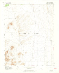
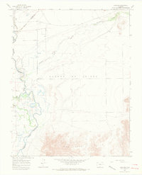
1965 Map of Blanca SE
USGS Topo · Published 1968About this map
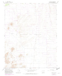
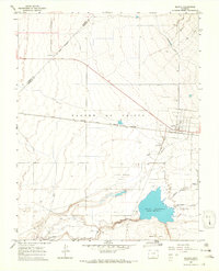
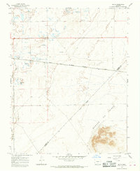
The San Luis Hills and the Sangre De Cristo range converge in this mid-1960s study of Costilla County terrain. This landscape is defined by its arid hydrology and complex elevation, marked by the western flow of Trinchera Creek and the man-made irrigation of the Trinchera Canal in the northeast. The presence of a Substa and multiple Well points indicates the managed development of the San Luis Valley during this era, where water infrastructure was essential for the surrounding land.
Find a feature on this map
10 named features on this map. Tap any name to fly to it.
Don’t see what you’re looking for? This feature index may not catch every label — zoom into the map to look around manually.
Map Details
Editions of this 1965 Blanca SE Map
3 editions found
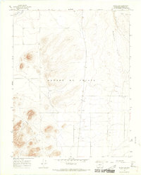
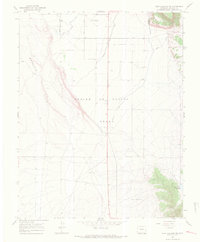
Other maps of this area

1954 · Trinidad
USGS Topo · 1:250,000

1955 · Trinidad
USGS Topo · 1:250,000

1958 · Trinidad
USGS Topo · 1:250,000

1959 · Trinidad
USGS Topo · 1:250,000
1965 · Blanca
USGS Topo · 1:24,000
1965 · Baldy
USGS Topo · 1:24,000
1965 · Lasauses
USGS Topo · 1:24,000
1965 · Blanca SE
USGS Topo · 1:24,000
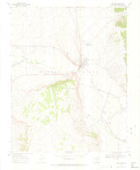
1967 · San Luis
USGS Topo · 1:24,000
1967 · Fort Garland SW
USGS Topo · 1:24,000