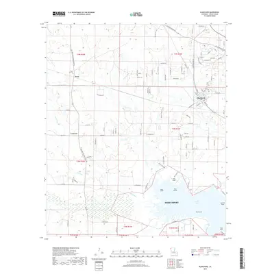
2018 Map of Blanchard
USGS Topo · Published 2018About this map
The northwest Louisiana landscape near Shreveport is defined by the expansive waters of Cross Lake and the intricate bayou systems that feed it. The Kansas City Southern railroad serves as a primary north-south corridor, anchoring settlements like Blanchard and Shipp. Local history is preserved in landmarks such as the Mount Zion Cem and established rural communities including Longwood and Pine Island. The topography transitions from the low-lying wetlands of Piney Bayou and Fordney Bayou to the lake's edge, where specialized features like Hidden Harbor, Wiggens Arm, and the Bird Islands emerge. This network of waterways and early transit routes illustrates the area's development from a rural agricultural and transit-oriented region into the modern suburbs of Shreveport.
Find a feature on this map
111 named features on this map. Tap any name to fly to it.
Don’t see what you’re looking for? This feature index may not catch every label — zoom into the map to look around manually.
Map Details
Editions of this 2018 Blanchard Map
This is the sole edition of this map. No revisions or reprints were ever made.
Other maps of this area

1932 · Shreveport SE
USGS Topo · 1:31,680

1932 · Shreveport NE
USGS Topo · 1:31,680

1943 · Waskom
USGS Topo · 1:62,500

1944 · Caddo Lake
USGS Topo · 1:62,500

1945 · Waskom
USGS Topo · 1:62,500

1945 · Greenwood
USGS Topo · 1:62,500

1946 · Caddo Lake
USGS Topo · 1:62,500

1948 · Mooringsport
USGS Topo · 1:62,500

1955 · Shreveport
USGS Topo · 1:250,000
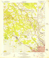
1955 · North Shreveport
USGS Topo · 1:24,000