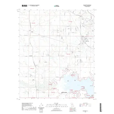
2020 Map of Blanchard
USGS Topo · Published 2020About this map
Blanchard serves as a primary hub in this Caddo Parish landscape, situated northwest of the expanding reaches of Shreveport. The area is notably dense with family and community burial grounds, offering significant value for genealogical research. Sites such as the Bickham - Francis Marion Cem, Cole Family Cem, and Reid - Tippet Cem are scattered across the terrain, reflecting the long-standing land ownership and community ties of rural northwest Louisiana.
Find a feature on this map
119 named features on this map. Tap any name to fly to it.
Don’t see what you’re looking for? This feature index may not catch every label — zoom into the map to look around manually.
Map Details
Editions of this 2020 Blanchard Map
This is the sole edition of this map. No revisions or reprints were ever made.
Other maps of this area

1932 · Shreveport SE
USGS Topo · 1:31,680

1932 · Shreveport NE
USGS Topo · 1:31,680

1943 · Waskom
USGS Topo · 1:62,500

1944 · Caddo Lake
USGS Topo · 1:62,500

1945 · Waskom
USGS Topo · 1:62,500

1945 · Greenwood
USGS Topo · 1:62,500

1946 · Caddo Lake
USGS Topo · 1:62,500

1948 · Mooringsport
USGS Topo · 1:62,500

1955 · Shreveport
USGS Topo · 1:250,000
1955 · North Shreveport
USGS Topo · 1:24,000