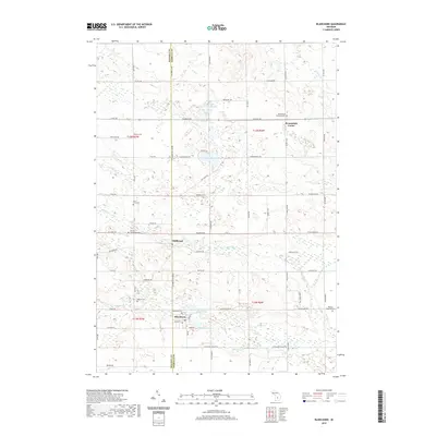
2019 Map of Blanchard
USGS Topo · Published 2019About this map
Blanchard and Millbrook sit at the intersection of rural townships in Central Michigan, where the boundary between Mecosta Co and Isabella Co divides the landscape. This region is characterized by a dense network of country roads, many of which follow the established section lines of the Public Land Survey System, such as W Remus Rd and W Blanchard Rd. The local economy and settlement patterns are closely tied to the water, notably the Pine River and the Blanchard Millpond, which reflect the early industrial reliance on river power.
Find a feature on this map
59 named features on this map. Tap any name to fly to it.
Don’t see what you’re looking for? This feature index may not catch every label — zoom into the map to look around manually.
Map Details
Editions of this 2019 Blanchard Map
This is the sole edition of this map. No revisions or reprints were ever made.
Other maps of this area

1916 · Mount Pleasant
USGS Topo · 1:62,500

1919 · Mount Pleasant
USGS Topo · 1:62,500

1943 · Mount Pleasant
USGS Topo · 1:62,500

1954 · Midland
USGS Topo · 1:250,000

1958 · Midland
USGS Topo · 1:250,000

1959 · Midland
USGS Topo · 1:250,000

1964 · Edmore
USGS Topo · 1:24,000

1964 · Six Lakes
USGS Topo · 1:24,000

1964 · Mecosta NW
USGS Topo · 1:24,000

1964 · Blanchard
USGS Topo · 1:24,000