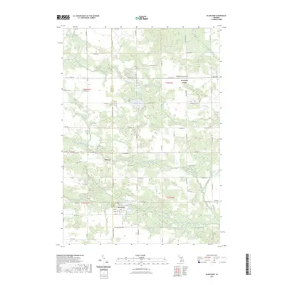
2023 Map of Blanchard
USGS Topo · Published 2023About this map
The borderlands between Mecosta and Isabella Counties are defined by the rural settlements of Blanchard and Millbrook, communities whose histories are closely tied to the water power of the Pine River and its tributaries. Central to the village of Blanchard is the Blanchard Millpond, a focal point of the local geography near Babcocks Pond and the South Branch Pine River. This map details a landscape transition where small-scale farming and residential clusters meet the natural wetlands surrounding Big Eldred Lake and Halls Lake.
Find a feature on this map
63 named features on this map. Tap any name to fly to it.
Don’t see what you’re looking for? This feature index may not catch every label — zoom into the map to look around manually.
Map Details
Editions of this 2023 Blanchard Map
This is the sole edition of this map. No revisions or reprints were ever made.
Other maps of this area

1916 · Mount Pleasant
USGS Topo · 1:62,500

1919 · Mount Pleasant
USGS Topo · 1:62,500

1943 · Mount Pleasant
USGS Topo · 1:62,500

1954 · Midland
USGS Topo · 1:250,000

1958 · Midland
USGS Topo · 1:250,000

1959 · Midland
USGS Topo · 1:250,000

1964 · Edmore
USGS Topo · 1:24,000

1964 · Six Lakes
USGS Topo · 1:24,000

1964 · Mecosta NW
USGS Topo · 1:24,000

1964 · Blanchard
USGS Topo · 1:24,000