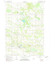
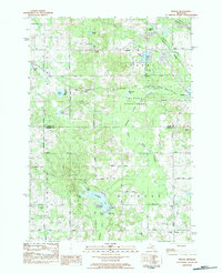
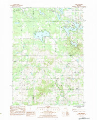
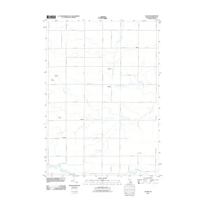
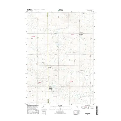
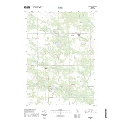
1964 Map of Blanchard
USGS Topo · Published 1982About this map
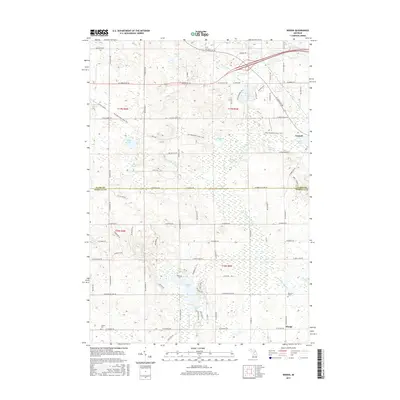
The Chesapeake and Ohio railroad cuts a diagonal path through this rural landscape in Isabella and Mecosta Counties, anchoring the village of Blanchard and the settlement of Millbrook. The rail corridor, flanked by the Blanchard Millpond and Babcock Pond, illustrates the historical importance of water-powered industry and rail transport to this agricultural region. Further north, Broomfield Center serves as a small crossroads hub amid a network of township roads like Broomfield Road and Brinton Road.
Find a feature on this map
41 named features on this map. Tap any name to fly to it.
Don’t see what you’re looking for? This feature index may not catch every label — zoom into the map to look around manually.
Map Details
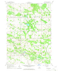
Editions of this 1964 Blanchard Map
2 editions found
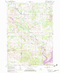
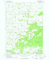
Historical Maps of Millbrook Through Time
30 maps found
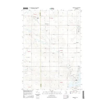
1964 Blanchard
Isabella County, MI
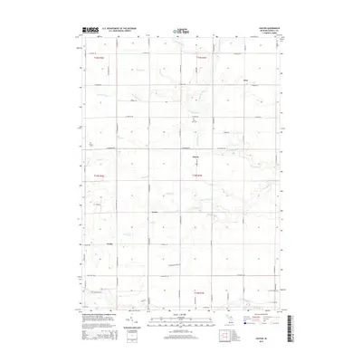
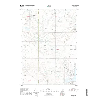
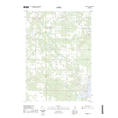
1964 Sherman City
Isabella County, MI
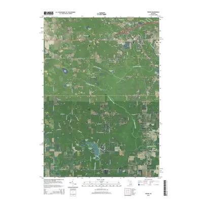
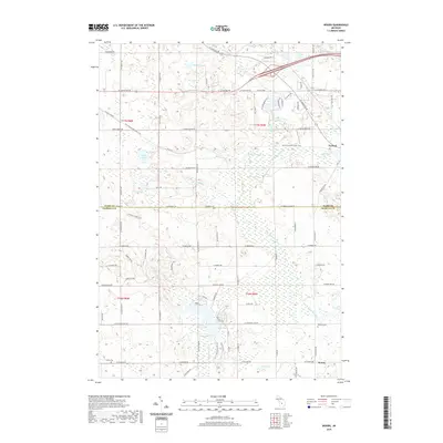
1973 Leaton
Isabella County, MI
1983 Woods
Isabella County, MI
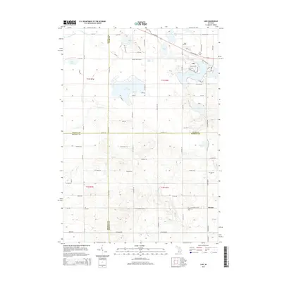
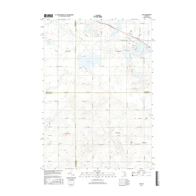
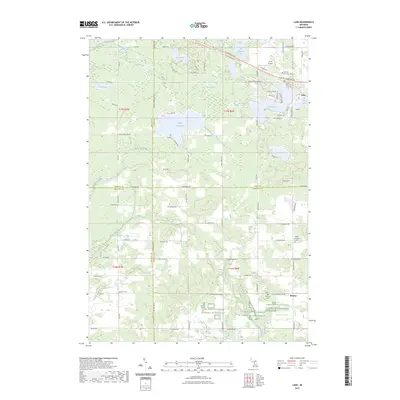
1984 Lake
Isabella County, MI
2011 Blanchard
Isabella County, MI
2011 Lake
Isabella County, MI
2011 Leaton
Isabella County, MI
2011 Sherman City
Isabella County, MI
2011 Woods
Isabella County, MI
2014 Blanchard
Isabella County, MI
2014 Lake
Isabella County, MI
2014 Leaton
Isabella County, MI
2014 Sherman City
Isabella County, MI
2014 Woods
Isabella County, MI
2017 Blanchard
Isabella County, MI
2017 Lake
Isabella County, MI
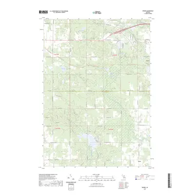
2017 Leaton
Isabella County, MI
2017 Sherman City
Isabella County, MI
2017 Woods
Isabella County, MI
2019 Blanchard
Isabella County, MI
2019 Lake
Isabella County, MI
2019 Leaton
Isabella County, MI
2019 Sherman City
Isabella County, MI
2019 Woods
Isabella County, MI
2023 Blanchard
Isabella County, MI
2023 Lake
Isabella County, MI
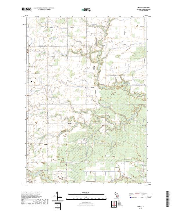
2023 Leaton
Isabella County, MI
2023 Sherman City
Isabella County, MI
2023 Woods
Isabella County, MI
Featured Locations
- Lake Isabella, MI
- Rolland Township, MI
- Millbrook Township, MI
- Blanchard, Rolland Township
- Millbrook, Rolland Township