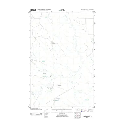
2011 Map of Blanchard Ranch
USGS Topo · Published 2011About this map
Blanchard Ranch and Archambeault Ranch anchor this Valley County landscape, illustrating the extensive water management systems essential for high-plains ranching. The map reveals an intricate network of man-made features designed to capture seasonal runoff, including the Archambeault Retention Reservoir, Jack Rabbit Reservoir, and Mud Run Reservoir. These are supported by structures like the Whodiky Dam and Archambeault Retention Dam. The terrain is defined by broad drainages such as Willow Creek and Sage Hen Creek, which traverse the wide Archambeault Flats. Industrial presence is noted at the Baldy Pit, while the local road network is largely defined by the namesake Willow Creek Rd and Aitken Rd, which provide access to remote ranching outposts and seasonal water bodies like Dry Lake.
Find a feature on this map
23 named features on this map. Tap any name to fly to it.
Don’t see what you’re looking for? This feature index may not catch every label — zoom into the map to look around manually.
Map Details
Editions of this 2011 Blanchard Ranch Map
This is the sole edition of this map. No revisions or reprints were ever made.
Other maps of this area

1943 · Glasgow
USGS Topo · 1:125,000

1954 · Jordan
USGS Topo · 1:250,000

1954 · Glasgow
USGS Topo · 1:250,000

1956 · Jordan
USGS Topo · 1:250,000

1957 · Glasgow
USGS Topo · 1:250,000

1958 · Glasgow
USGS Topo · 1:250,000

1958 · Jordan
USGS Topo · 1:250,000

1958 · Engstrom Ranch
USGS Topo · 1:24,000

1958 · Miller Coulee
USGS Topo · 1:62,500

1958 · Collins Ranch
USGS Topo · 1:62,500