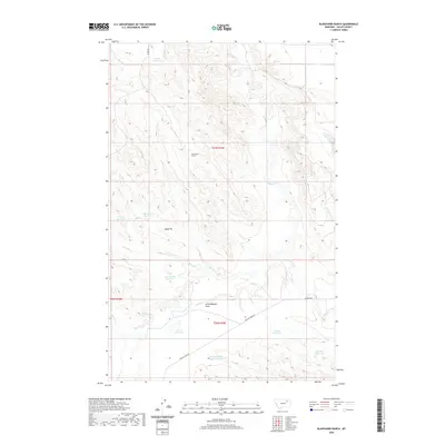
2020 Map of Blanchard Ranch
USGS Topo · Published 2020About this map
Blanchard Ranch and the level expanse of Archambeault Flats anchor this portion of Valley County, where the landscape is defined by an intricate network of water management features. Numerous small reservoirs, including Aitken Reservoir, Jack Rabbit Reservoir, and Road Reservoir, indicate the critical role of water storage in this cattle-ranching region. The drainage patterns of Willow Cr, Coyote Cr, and Sage Hen Cr carve through the terrain, leading toward larger catchments like the Archambeault Detention Reservoir. Human activity is primarily centered around livestock and limited resource extraction, evidenced by the Baldy Pit and the long stretches of Willow Creek Rd and Maxness Rd that cross the townships. This 2020 record captures a sparsely populated, high-plains environment focused on land stewardship and seasonal water control.
Find a feature on this map
21 named features on this map. Tap any name to fly to it.
Don’t see what you’re looking for? This feature index may not catch every label — zoom into the map to look around manually.
Map Details
Editions of this 2020 Blanchard Ranch Map
This is the sole edition of this map. No revisions or reprints were ever made.
Other maps of this area

1943 · Glasgow
USGS Topo · 1:125,000

1954 · Jordan
USGS Topo · 1:250,000

1954 · Glasgow
USGS Topo · 1:250,000

1956 · Jordan
USGS Topo · 1:250,000

1957 · Glasgow
USGS Topo · 1:250,000

1958 · Glasgow
USGS Topo · 1:250,000

1958 · Jordan
USGS Topo · 1:250,000

1958 · Engstrom Ranch
USGS Topo · 1:24,000

1958 · Miller Coulee
USGS Topo · 1:62,500

1958 · Collins Ranch
USGS Topo · 1:62,500