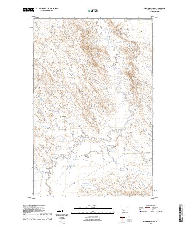
2024 Map of Blanchard Ranch
USGS Topo · Published 2024About this map
Willow Creek and its winding tributaries define this portion of Valley County, where water management is central to the landscape. Numerous man-made catchments, including Blanchard Reservoir and the Jack Rabbit Reservoir, are scattered throughout the drainages of Coyote Creek and Sage Hen Creek. These features indicate the region's reliance on gathered surface water for ranching and wildlife in a semi-arid environment. The southern margin of the area is protected as part of the Charles M Russell National Wildlife Refuge, preserving the breaks and flats near the Missouri River drainage.
Find a feature on this map
22 named features on this map. Tap any name to fly to it.
Don’t see what you’re looking for? This feature index may not catch every label — zoom into the map to look around manually.
Map Details
Editions of this 2024 Blanchard Ranch Map
This is the sole edition of this map. No revisions or reprints were ever made.
Other maps of this area

1943 · Glasgow
USGS Topo · 1:125,000

1954 · Jordan
USGS Topo · 1:250,000

1954 · Glasgow
USGS Topo · 1:250,000

1956 · Jordan
USGS Topo · 1:250,000

1957 · Glasgow
USGS Topo · 1:250,000

1958 · Glasgow
USGS Topo · 1:250,000

1958 · Jordan
USGS Topo · 1:250,000

1958 · Engstrom Ranch
USGS Topo · 1:24,000

1958 · Miller Coulee
USGS Topo · 1:62,500

1958 · Collins Ranch
USGS Topo · 1:62,500