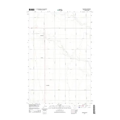
2014 Map of Blanchard
USGS Topo · Published 2014About this map
Blanchard stands as a central settlement in this portion of the Red River Valley, situated at the intersection of local routes in Traill County. The surrounding landscape is defined by the meandering course of the Elm River, which cuts diagonally across the township, contrasting with the rigid section-line road grid that characterizes this agricultural region. Small communities like Preston and Greenfield are spaced along the north-south corridors, representing the persistent rural settlement patterns of eastern North Dakota. The infrastructure is primarily composed of an extensive network of range and township roads, including 155th Ave SE and 157th Ave SE, which facilitate the movement of goods and people between these isolated prairie outposts. This survey captures the area in the early 21st century, showing how the original land-survey grid continues to dictate the placement of homes and farmsteads long after the era of initial settlement.
Find a feature on this map
22 named features on this map. Tap any name to fly to it.
Don’t see what you’re looking for? This feature index may not catch every label — zoom into the map to look around manually.
Map Details
Editions of this 2014 Blanchard Map
This is the sole edition of this map. No revisions or reprints were ever made.
Other maps of this area

1918 · Kelso
USGS Topo · 1:62,500

1943 · Kelso
USGS Topo · 1:62,500

1952 · Grand Forks
USGS Topo · 1:250,000

1956 · Grand Forks
USGS Topo · 1:250,000

1963 · Hillsboro
USGS Topo · 1:24,000

1963 · Kelso
USGS Topo · 1:24,000

1966 · Grand Forks
USGS Topo · 1:250,000

1967 · Mayville South
USGS Topo · 1:24,000

1967 · Ayr NE
USGS Topo · 1:24,000

1967 · Blanchard
USGS Topo · 1:24,000