
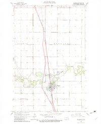
1963 Map of Hillsboro
USGS Topo · Published 1964About this map
Hillsboro serves as the primary hub of this Red River Valley landscape, situated along the Great Northern railroad line. The town's layout is centered around its civic and spiritual institutions, including a cluster of several local burial sites such as Riverside Cem, St Rose Cem, and Elmwood Cem. The meandering Goose River bisects the area, defining the local topography and supporting infrastructure like the Gaging Sta and Sewage Disposal Ponds.
Find a feature on this map
22 named features on this map. Tap any name to fly to it.
Don’t see what you’re looking for? This feature index may not catch every label — zoom into the map to look around manually.
Map Details
Editions of this 1963 Hillsboro Map
3 editions found
Other maps of this area

1918 · Kelso
USGS Topo · 1:62,500

1918 · Hendrum
USGS Topo · 1:62,500

1919 · Eldred
USGS Topo · 1:62,500

1943 · Kelso
USGS Topo · 1:62,500

1952 · Grand Forks
USGS Topo · 1:250,000

1956 · Grand Forks
USGS Topo · 1:250,000

1963 · Kelso
USGS Topo · 1:24,000

1963 · Halstad SW
USGS Topo · 1:24,000

1964 · Climax SW
USGS Topo · 1:24,000
1964 · Caledonia
USGS Topo · 1:24,000