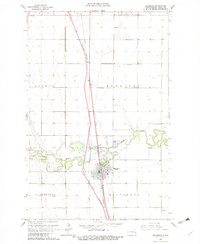
1963 Map of Hillsboro
USGS Topo · Published 1982About this map
Hillsboro serves as the focal point of this Red River Valley survey, situated where the Great Northern railroad corridor meets the winding course of the Goose River. The landscape is defined by its rectilinear township system, spanning portions of Wold, Norway, Bloomfield, Eldorado, and Hillsboro townships. This agricultural layout is punctuated by a high concentration of small cemeteries and rural churches that reflect the early settlement patterns of Traill County.
Find a feature on this map
20 named features on this map. Tap any name to fly to it.
Don’t see what you’re looking for? This feature index may not catch every label — zoom into the map to look around manually.
Map Details
Editions of this 1963 Hillsboro Map
3 editions found
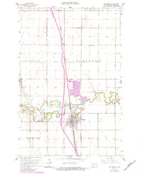
Other maps of this area

1918 · Kelso
USGS Topo · 1:62,500

1918 · Hendrum
USGS Topo · 1:62,500

1919 · Eldred
USGS Topo · 1:62,500

1943 · Kelso
USGS Topo · 1:62,500

1952 · Grand Forks
USGS Topo · 1:250,000

1956 · Grand Forks
USGS Topo · 1:250,000

1963 · Hillsboro
USGS Topo · 1:24,000

1963 · Kelso
USGS Topo · 1:24,000

1963 · Halstad SW
USGS Topo · 1:24,000

1964 · Climax SW
USGS Topo · 1:24,000