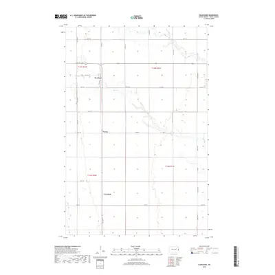
2018 Map of Blanchard
USGS Topo · Published 2018About this map
Blanchard stands as a central point in this northern Red River Valley landscape, situated where Old Hwy 18 intersects the grid-based road network of Traill County. The terrain is defined by the winding course of the Elm River, which meanders eastward across the townships, contrasting sharply with the rigid section lines that dictate the local geography. This survey provides a clear view of the rural settlement patterns in the early 21st century, marking the small communities of Preston and Greenfield south of the primary townsite.
Find a feature on this map
21 named features on this map. Tap any name to fly to it.
Don’t see what you’re looking for? This feature index may not catch every label — zoom into the map to look around manually.
Map Details
Editions of this 2018 Blanchard Map
This is the sole edition of this map. No revisions or reprints were ever made.
Other maps of this area

1918 · Kelso
USGS Topo · 1:62,500

1943 · Kelso
USGS Topo · 1:62,500

1952 · Grand Forks
USGS Topo · 1:250,000

1956 · Grand Forks
USGS Topo · 1:250,000

1963 · Hillsboro
USGS Topo · 1:24,000

1963 · Kelso
USGS Topo · 1:24,000

1966 · Grand Forks
USGS Topo · 1:250,000

1967 · Mayville South
USGS Topo · 1:24,000

1967 · Ayr NE
USGS Topo · 1:24,000

1967 · Blanchard
USGS Topo · 1:24,000