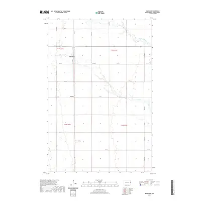
2020 Map of Blanchard
USGS Topo · Published 2020About this map
The Elm River and the North Branch Elm River meander through this agricultural landscape in Traill County, dictating the sparse settlement patterns typical of the Red River Valley. The small community of Blanchard sits at a crossroads, where the historical alignment of Old Hwy 18 reflects older transportation corridors that once linked these prairie townships. Further south, the map records the locations of Preston and Greenfield, points of interest for local historians and genealogists tracing the development of rural North Dakota. The landscape is structured by a precise grid of section lines and county roads, including Co Hwy 3 and Co Hwy 1, which define the massive tracts of farmland that have sustained this region for generations.
Find a feature on this map
28 named features on this map. Tap any name to fly to it.
Don’t see what you’re looking for? This feature index may not catch every label — zoom into the map to look around manually.
Map Details
Editions of this 2020 Blanchard Map
This is the sole edition of this map. No revisions or reprints were ever made.
Other maps of this area

1918 · Kelso
USGS Topo · 1:62,500

1943 · Kelso
USGS Topo · 1:62,500

1952 · Grand Forks
USGS Topo · 1:250,000

1956 · Grand Forks
USGS Topo · 1:250,000

1963 · Hillsboro
USGS Topo · 1:24,000

1963 · Kelso
USGS Topo · 1:24,000

1966 · Grand Forks
USGS Topo · 1:250,000

1967 · Mayville South
USGS Topo · 1:24,000

1967 · Ayr NE
USGS Topo · 1:24,000

1967 · Blanchard
USGS Topo · 1:24,000