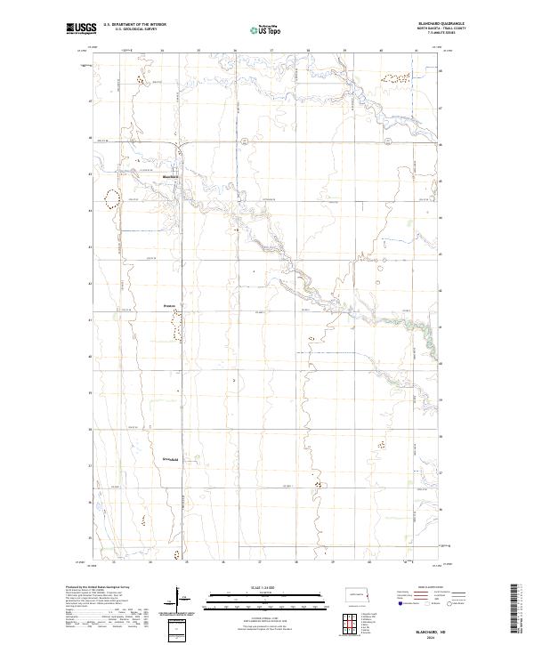
2024 Map of Blanchard
USGS Topo · Published 2024About this map
The Elm River winds through the heart of this Traill County landscape, its meandering course cutting through the strictly gridded agricultural townships. This modern survey illustrates the enduring rural structure of the region, where the small settlements of Blanchard, Preston, and Greenfield align along the north-south corridor of Old Hwy 18 and 156th Ave SE. The interplay between the natural, sinuous path of the North Branch Elm River and the rigid Section line roads like Co Hwy 3 and 3rd St SE reveals a landscape organized for high-efficiency farming. For local historians and genealogists, the map provides a clear record of current land divisions and the specific road networks that have connected these Red River Valley communities for generations.
Find a feature on this map
28 named features on this map. Tap any name to fly to it.
Don’t see what you’re looking for? This feature index may not catch every label — zoom into the map to look around manually.
Map Details
Editions of this 2024 Blanchard Map
This is the sole edition of this map. No revisions or reprints were ever made.
Other maps of this area

1918 · Kelso
USGS Topo · 1:62,500

1943 · Kelso
USGS Topo · 1:62,500

1952 · Grand Forks
USGS Topo · 1:250,000

1956 · Grand Forks
USGS Topo · 1:250,000

1963 · Hillsboro
USGS Topo · 1:24,000

1963 · Kelso
USGS Topo · 1:24,000

1966 · Grand Forks
USGS Topo · 1:250,000

1967 · Mayville South
USGS Topo · 1:24,000

1967 · Ayr NE
USGS Topo · 1:24,000

1967 · Blanchard
USGS Topo · 1:24,000