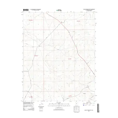
2013 Map of Blanco Trading Post
USGS Topo · Published 2013About this map
Blanco Trading Post and Tsah Tah Trading Post serve as the primary landmarks in this high-desert region of the Eastern Navajo Agency during the early 21st century. The landscape is defined by the ephemeral Blanco Wash and a network of tribal and county roads that support the local ranching and energy infrastructure. The presence of the Bisti Oil Field in the central portion of the quadrangle indicates the area's economic reliance on natural resources, while the settlement of Nageezi in the southeast corner provides a focal point for the community. Transportation routes are vital here, with NM-57 and several Indian Service routes, including Indian Service Route 458 and Indian Service Route 45, connecting these remote outposts across the arid terrain.
Find a feature on this map
30 named features on this map. Tap any name to fly to it.
Don’t see what you’re looking for? This feature index may not catch every label — zoom into the map to look around manually.
Map Details
Editions of this 2013 Blanco Trading Post Map
This is the sole edition of this map. No revisions or reprints were ever made.
Other maps of this area

1889 · Largo
USGS Topo · 1:250,000

1895 · Largo
USGS Topo · 1:250,000

1954 · Aztec
USGS Topo · 1:250,000

1958 · Aztec
USGS Topo · 1:250,000

1959 · Nageezi
USGS Topo · 1:62,500

1962 · Aztec
USGS Topo · 1:250,000

1965 · Aztec
USGS Topo · 1:250,000
1966 · Pueblo Bonito NW
USGS Topo · 1:24,000

1966 · Lybrook NW
USGS Topo · 1:24,000
1966 · Huerfano Trading Post SW
USGS Topo · 1:24,000