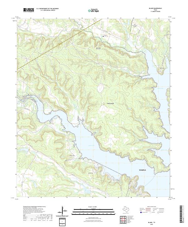
2022 Map of Bland
USGS Topo · Published 2022About this map
Belton Lake dominates this central Texas landscape, where the waters of the Leon River reach into the deeply dissected terrain of the Owl Creek Mountains. This area along the Coryell and Bell County line showcases a modern rural geography shaped by significant water management and military-adjacent land use. Settlement patterns are sparse, defined by landmarks like the Trimmer Family Cem and the small airfield at The Grove/Ranch Airport, while higher elevations like Bland Mtn and Sparta Mtn rise above the complex network of inlets and peninsulas.
Find a feature on this map
37 named features on this map. Tap any name to fly to it.
Don’t see what you’re looking for? This feature index may not catch every label — zoom into the map to look around manually.
Map Details
Editions of this 2022 Bland Map
This is the sole edition of this map. No revisions or reprints were ever made.
Other maps of this area

1892 · Temple
USGS Topo · 1:125,000

1894 · Gatesville
USGS Topo · 1:125,000

1924 · Gatesville 4-d
USGS Topo · 1:48,000

1924 · Gatesville 4-a
USGS Topo · 1:48,000

1924 · Temple 2-C
USGS Topo · 1:48,000

1924 · Temple 3-C
USGS Topo · 1:48,000

1924 · Temple 3-B
USGS Topo · 1:48,000

1930 · Killeen
USGS Topo · 1:62,500

1931 · Mc Gregor
USGS Topo · 1:62,500

1931 · Belton
USGS Topo · 1:62,500