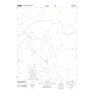
2011 Map of Bland
USGS Topo · Published 2011About this map
The Cochiti Mining District dominates the southern canyons of this terrain, centering on the settlement of Bland. This area is densely packed with historical claims and operations, including the Washington Mine, Crown Point Mine, and the Mogul Group. These industrial sites are carved into a landscape of dramatic mesas and ridges such as Cochiti Mesa and Crager Ridge.
Find a feature on this map
67 named features on this map. Tap any name to fly to it.
Don’t see what you’re looking for? This feature index may not catch every label — zoom into the map to look around manually.
Map Details
Editions of this 2011 Bland Map
This is the sole edition of this map. No revisions or reprints were ever made.
Other maps of this area

1890 · Jemes
USGS Topo · 1:125,000

1892 · Jemes
USGS Topo · 1:125,000

1892 · Santa Clara
USGS Topo · 1:125,000

1937 · Jemez Springs
USGS Topo · 1:48,000

1943 · Jemez
USGS Topo · 1:62,500

1944 · Jemez Springs
USGS Topo · 1:62,500

1952 · Valle Toledo
USGS Topo · 1:24,000

1952 · Jemez Springs
USGS Topo · 1:62,500

1952 · Frijoles
USGS Topo · 1:24,000

1952 · Guaje Mountain
USGS Topo · 1:24,000