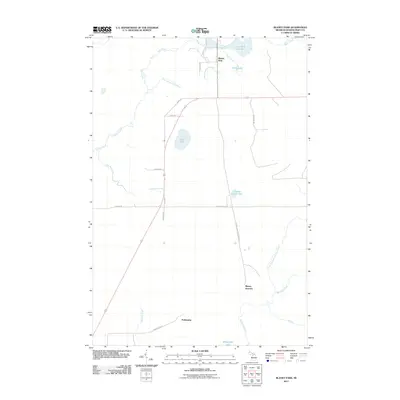
2011 Map of Blaney Park
USGS Topo · Published 2011About this map
Blaney Park and Blaney Junction anchor this landscape in Mueller Township, reflecting the intersection of early 20th-century resort history and local industry. The terrain is defined by a dense network of water systems, including the Milakokia River and several smaller tributaries like Four Hundred and Five Creek and Anderson Creek. Evidence of the area's resource-based economy is visible at the Calspar Quarry Pool and the presence of the Blaney Junction Grade Rd, which hints at former rail corridors through the timberlands.
Find a feature on this map
27 named features on this map. Tap any name to fly to it.
Don’t see what you’re looking for? This feature index may not catch every label — zoom into the map to look around manually.
Map Details
Editions of this 2011 Blaney Park Map
This is the sole edition of this map. No revisions or reprints were ever made.
Other maps of this area

1931 · Manistique River NE
USGS Topo · 1:31,680

1931 · Seul Choix Point NE
USGS Topo · 1:31,680

1931 · Seul Choix Point NW
USGS Topo · 1:31,680

1931 · Manistique River SE
USGS Topo · 1:31,680

1931 · Blaney SW
USGS Topo · 1:31,680

1931 · Blaney NE
USGS Topo · 1:31,680

1931 · Blaney SE
USGS Topo · 1:31,680

1931 · Blaney NW
USGS Topo · 1:31,680

1954 · Escanaba
USGS Topo · 1:250,000

1954 · Sault Sainte Marie
USGS Topo · 1:250,000