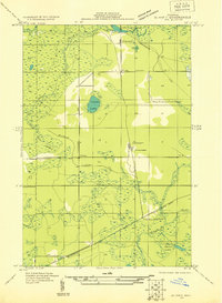
1931 Map of Blaney SW
USGS Topo · Published 1931About this map
Blaney serves as the focal point of this 1931 survey of Schoolcraft County, situated just north of the Minneapolis Sault Ste Marie and Atlantic railroad. This Upper Peninsula landscape reflects an era defined by resource extraction and early infrastructure, featuring a specialized Lumber Co rail line and a prominent Stone Quarry near Calaspar. The presence of the New Blaney Fire Tower and a significant Transmission Line underscores the region's developing utility and forestry management networks during the early thirties.
Find a feature on this map
18 named features on this map. Tap any name to fly to it.
Don’t see what you’re looking for? This feature index may not catch every label — zoom into the map to look around manually.
Map Details
Editions of this 1931 Blaney SW Map
This is the sole edition of this map. No revisions or reprints were ever made.
Other maps of this area
1931 · Manistique River NE
USGS Topo · 1:31,680
1931 · Seul Choix Point NE
USGS Topo · 1:31,680
1931 · Seul Choix Point NW
USGS Topo · 1:31,680
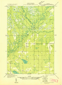
1931 · Manistique River SE
USGS Topo · 1:31,680
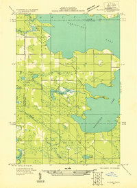
1931 · Blaney NE
USGS Topo · 1:31,680
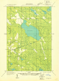
1931 · Blaney SE
USGS Topo · 1:31,680
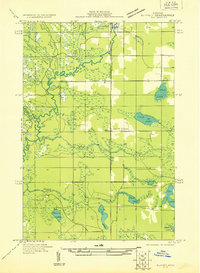
1931 · Blaney NW
USGS Topo · 1:31,680

1954 · Escanaba
USGS Topo · 1:250,000
1954 · Sault Sainte Marie
USGS Topo · 1:250,000

1955 · Cheboygan
USGS Topo · 1:250,000