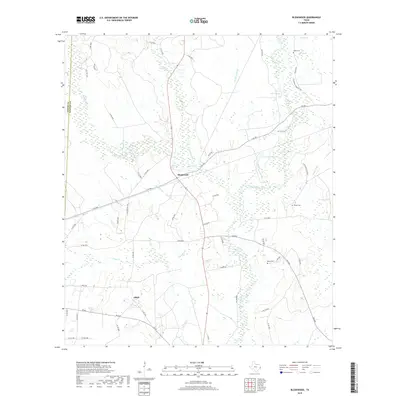
2019 Map of Bleakwood
USGS Topo · Published 2019About this map
Bleakwood and Adsul serve as the primary settlement points in this pocket of Southeast Texas, where the landscape is defined by an extensive network of creeks and marshlands. The drainage patterns of White Oak Cr and Big Cow Creek illustrate the low-lying nature of the terrain, which includes significant features like Donahoe Marsh and Log Town Pond. For those researching local family history, several burial sites are recorded across the quadrangle, including Odom Cem, Wilson Cem, and Biloxi Cem. The road network provides evidence of the area's development through routes like the Old Newton Hwy and various farm-to-market roads such as F-M 363 and FM 82. The boundary between Jasper Co and Newton Co runs along the western edge, marking the administrative divide in this timber-rich region of the Gulf Coastal Plain.
Find a feature on this map
61 named features on this map. Tap any name to fly to it.
Don’t see what you’re looking for? This feature index may not catch every label — zoom into the map to look around manually.
Map Details
Editions of this 2019 Bleakwood Map
This is the sole edition of this map. No revisions or reprints were ever made.
Other maps of this area

1935 · Wilson Lake
USGS Topo · 1:31,680

1947 · Wilson Lake
USGS Topo · 1:31,680

1949 · Bancroft
USGS Topo · 1:31,680

1952 · Lake Charles
USGS Topo · 1:250,000

1954 · Lake Charles
USGS Topo · 1:250,000

1955 · Roganville
USGS Topo · 1:62,500

1958 · Kirbyville
USGS Topo · 1:62,500
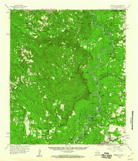
1959 · Merryville
USGS Topo · 1:62,500
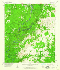
1959 · Bon Wier
USGS Topo · 1:62,500
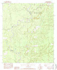
1982 · Bancroft
USGS Topo · 1:24,000