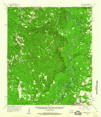
1959 Map of Merryville
USGS Topo · Published 1960About this map
The Sabine River meanders along the state line in this 1959 study of the borderlands between Texas and Louisiana. This map documents a landscape defined by its waterways and timber-related settlements, from Wiergate and Burkeville in the north to the rail hub of Merryville in the south. The terrain is crisscrossed by family-named landmarks like Shankleville and Simmonsville, alongside numerous rural spiritual centers such as Mt Olive Ch, Quicksand Ch, and Trout Creek Ch.
Find a feature on this map
78 named features on this map. Tap any name to fly to it.
Don’t see what you’re looking for? This feature index may not catch every label — zoom into the map to look around manually.
Map Details
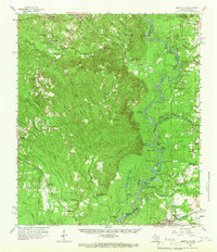
Editions of this 1959 Merryville Map
2 editions found
Other maps of this area

1935 · Wilson Lake
USGS Topo · 1:31,680

1941 · Leesville
USGS Topo · 1:62,500

1943 · Leesville
USGS Topo · 1:62,500

1944 · Wiergate
USGS Topo · 1:62,500

1946 · Leesville
USGS Topo · 1:62,500

1946 · Merryville
USGS Topo · 1:31,680

1947 · Singer
USGS Topo · 1:31,680

1947 · Pujo
USGS Topo · 1:31,680

1947 · Knight
USGS Topo · 1:31,680

1947 · Wilson Lake
USGS Topo · 1:31,680