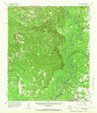
1959 Map of Merryville
USGS Topo · Published 1966About this map
The Sabine River forms the central spine of this 1950s landscape, serving as the border between Newton County, Texas, and Beauregard Parish, Louisiana. The river's winding course is marked by numerous oxbow features like Horseshoe Lake and Moon Lake, while the surrounding bottomlands are defined by complex drainage systems including Quicksand Creek and Yellow Bayou. This era shows a region transitioning between timber, agriculture, and energy, with the Merryville Oil Field positioned near the Gulf Colorado and Santa Fe Railroad corridor.
Find a feature on this map
63 named features on this map. Tap any name to fly to it.
Don’t see what you’re looking for? This feature index may not catch every label — zoom into the map to look around manually.
Map Details
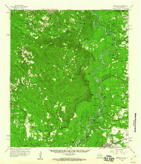
Editions of this 1959 Merryville Map
2 editions found
Other maps of this area

1935 · Wilson Lake
USGS Topo · 1:31,680

1941 · Leesville
USGS Topo · 1:62,500

1943 · Leesville
USGS Topo · 1:62,500

1944 · Wiergate
USGS Topo · 1:62,500

1946 · Leesville
USGS Topo · 1:62,500

1946 · Merryville
USGS Topo · 1:31,680

1947 · Singer
USGS Topo · 1:31,680

1947 · Pujo
USGS Topo · 1:31,680

1947 · Knight
USGS Topo · 1:31,680

1947 · Wilson Lake
USGS Topo · 1:31,680