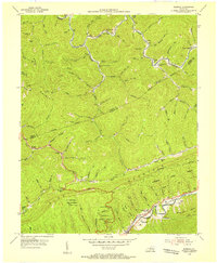
1954 Map of Bledsoe
USGS Topo · Published 1955About this map
Pine Mountain dominates this portion of Harlan County, carving a sharp ridge through a landscape defined by hollows and winding creek beds. In the mid-1950s, the community of Bledsoe sat at the junction of Beech and Reuben branches, supporting the Bledsoe Sch and Bledsoe Ch. The map reveals a deeply localized settlement pattern where family names are etched into the terrain, from John Minnard Br to the Huff Cem near the Leslie Co-Harlan Co line. Along the northern edge, Greasy Creek meanders past the Napier settlement, while the southern slopes descend toward the Nashville and Louisville rail line. The presence of the Incline Sch and a Strip Mine north of Richland Hol points to the industrial timber and coal extraction roots of the region, even as large tracts like Kentenia State Forest remained protected.
Find a feature on this map
109 named features on this map. Tap any name to fly to it.
Don’t see what you’re looking for? This feature index may not catch every label — zoom into the map to look around manually.
Map Details
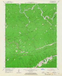
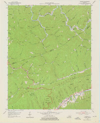
Editions of this 1954 Bledsoe Map
3 editions found
Other maps of this area

1887 · Jonesville
USGS Topo · 1:125,000

1891 · Hazard
USGS Topo · 1:125,000

1891 · Jonesville
USGS Topo · 1:125,000

1903 · Harlan
USGS Topo · 1:48,000

1916 · Cornettsville
USGS Topo · 1:62,500

1916 · Harlan
USGS Topo · 1:48,000

1916 · Nolansburg
USGS Topo · 1:48,000

1916 · Hyden
USGS Topo · 1:48,000

1919 · Nolansburg
USGS Topo · 1:62,500

1919 · Hyden
USGS Topo · 1:62,500