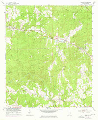
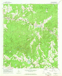
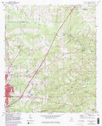
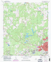
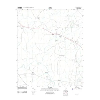
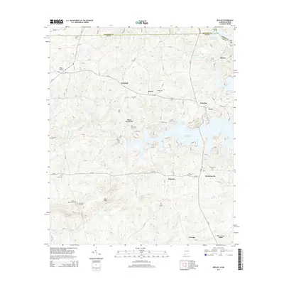
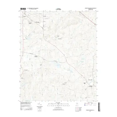
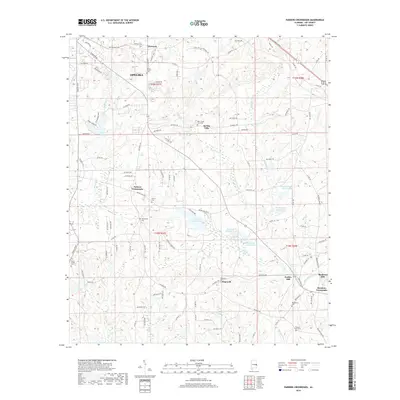
1965 Map of Bleecker
USGS Topo · Published 1976About this map
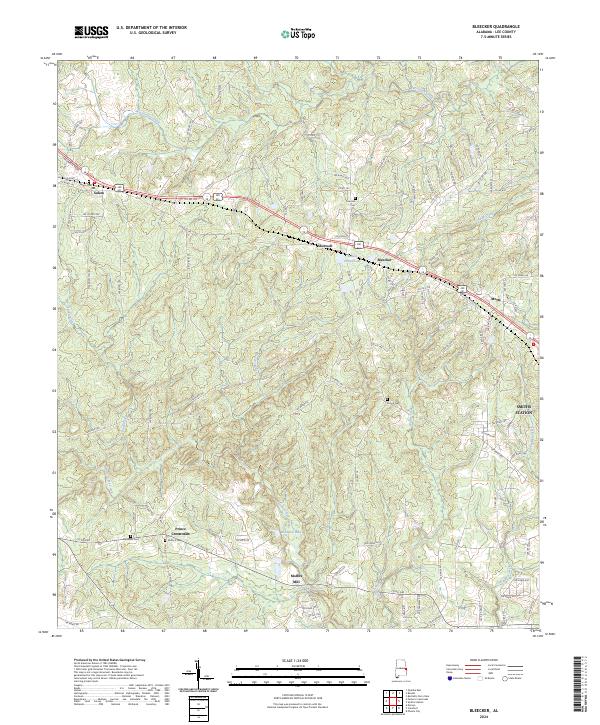
The Central of Georgia railroad corridor anchors this mid-century view of Lee County, connecting the small communities of Salem, Shotwell, and Bleecker. This rural landscape is defined by its numerous creek systems, including the winding Little Uchee Creek and Wacoochee Creek, which historically dictated the placement of early infrastructure like the Covered Bridge located north of Shotwell. Social centers of the era are clearly marked by a high density of country churches and schools, such as the Wacoochee High Sch and Antioch Ch. Local industry and commerce are represented by Moffits Mill and a Sand and Gravel Pit near the western edge of the quadrangle. These features, along with crossings like Prince Crossroads and Meadows Crossroads, illustrate a traditional Alabama settlement pattern where road junctions and water power sites formed the backbone of the community before the modern highway era dominated the region.
Find a feature on this map
38 named features on this map. Tap any name to fly to it.
Don’t see what you’re looking for? This feature index may not catch every label — zoom into the map to look around manually.
Map Details
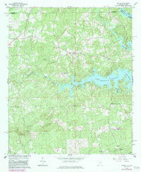
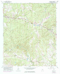
Editions of this 1965 Bleecker Map
3 editions found
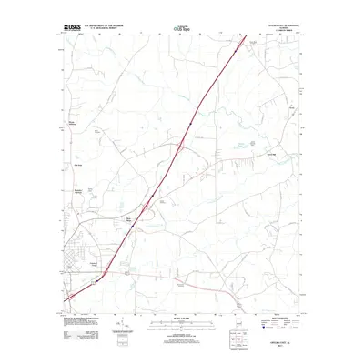
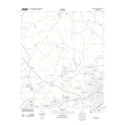
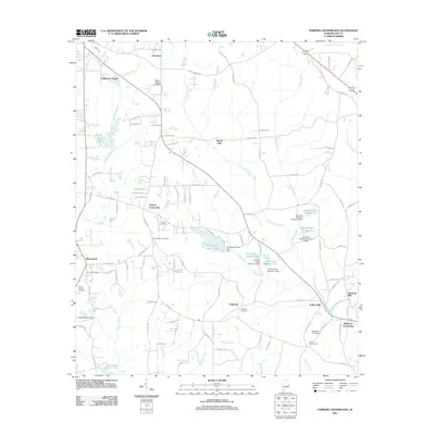
Historical Maps of Smiths Station Through Time
30 maps found
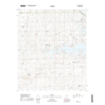
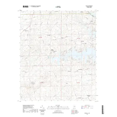
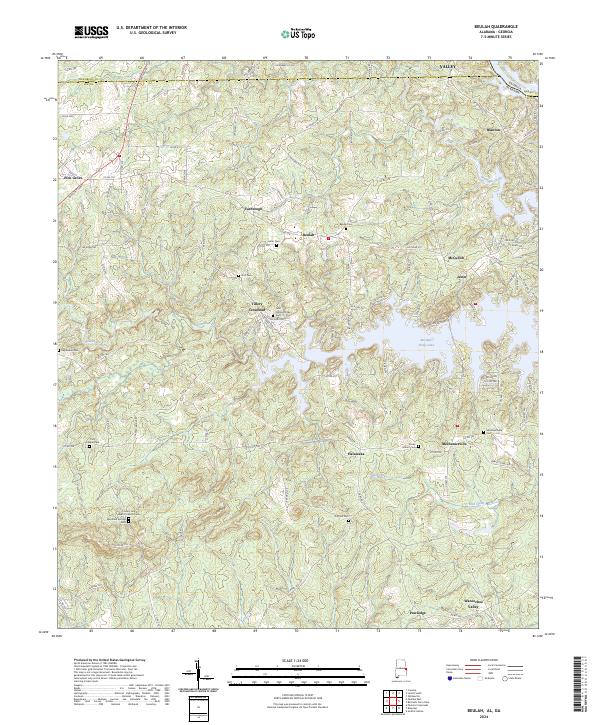
1965 Beulah
Lee County, AL
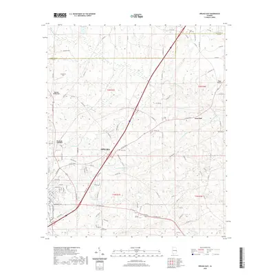
1965 Bleecker
Lee County, AL
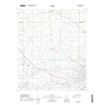
1970 Opelika East
Lee County, AL
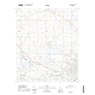
1971 Opelika West
Lee County, AL
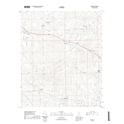
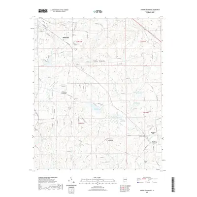
1971 Parkers Crossroads
Lee County, AL
2011 Beulah
Lee County, AL
2011 Bleecker
Lee County, AL
2011 Opelika East
Lee County, AL
2011 Opelika West
Lee County, AL
2011 Parkers Crossroads
Lee County, AL
2014 Beulah
Lee County, AL
2014 Bleecker
Lee County, AL
2014 Opelika East
Lee County, AL
2014 Opelika West
Lee County, AL
2014 Parkers Crossroads
Lee County, AL
2018 Beulah
Lee County, AL
2018 Bleecker
Lee County, AL
2018 Opelika East
Lee County, AL
2018 Opelika West
Lee County, AL
2018 Parkers Crossroads
Lee County, AL
2020 Beulah
Lee County, AL
2020 Bleecker
Lee County, AL
2020 Opelika East
Lee County, AL
2020 Opelika West
Lee County, AL
2020 Parkers Crossroads
Lee County, AL
2024 Beulah
Lee County, AL
2024 Bleecker
Lee County, AL
2024 Opelika East
Lee County, AL
2024 Opelika West
Lee County, AL
2024 Parkers Crossroads
Lee County, AL