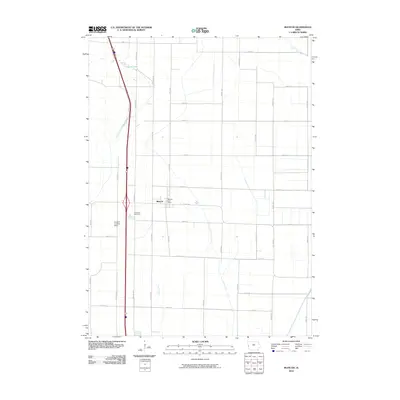
2010 Map of Blencoe
USGS Topo · Published 2010About this map
Blencoe serves as the primary hub for this agricultural landscape along the Missouri River floodplain in western Iowa. The town's civic core is centered around the Blencoe Post Office, while the surrounding section lines define a rigid grid of rural roads like Co Hwy K45 and Co Hwy E60. The local topography is dominated by extensive drainage infrastructure, including the Oliver Lake Ditch, McNeil Ditch, and Sherman Ditch, which work to manage the low-lying bottomlands.
Find a feature on this map
36 named features on this map. Tap any name to fly to it.
Don’t see what you’re looking for? This feature index may not catch every label — zoom into the map to look around manually.
Map Details
Editions of this 2010 Blencoe Map
This is the sole edition of this map. No revisions or reprints were ever made.
Other maps of this area

1954 · Omaha
USGS Topo · 1:250,000

1954 · Fort Dodge
USGS Topo · 1:250,000

1955 · Sioux City
USGS Topo · 1:250,000

1955 · Fremont
USGS Topo · 1:250,000

1957 · Fremont
USGS Topo · 1:250,000

1957 · Omaha
USGS Topo · 1:250,000

1957 · Fort Dodge
USGS Topo · 1:250,000

1958 · Sioux City
USGS Topo · 1:250,000

1958 · Omaha
USGS Topo · 1:250,000

1958 · Fremont
USGS Topo · 1:250,000