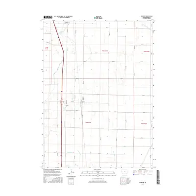
2015 Map of Blencoe
USGS Topo · Published 2015About this map
Blencoe and the southern outskirts of Onawa define this corridor of the Missouri River valley in western Iowa. The landscape is characterized by the highly engineered drainage systems necessary for Missouri River bottomland agriculture, featuring numerous ditches and lateral drains that crisscross the grid of county roads. The transport network is anchored by the north-south passage of Interstate 29 and a parallel rail line, which serve the grain elevators and agricultural facilities central to the local economy. This modern survey provides a precise layout of rural property boundaries, section lines, and the evolving footprint of these small prairie communities during the early twenty-first century.
Find a feature on this map
2 named features on this map. Tap any name to fly to it.
Don’t see what you’re looking for? This feature index may not catch every label — zoom into the map to look around manually.
Map Details
Editions of this 2015 Blencoe Map
This is the sole edition of this map. No revisions or reprints were ever made.
Other maps of this area

1954 · Omaha
USGS Topo · 1:250,000

1954 · Fort Dodge
USGS Topo · 1:250,000

1955 · Sioux City
USGS Topo · 1:250,000

1955 · Fremont
USGS Topo · 1:250,000

1957 · Fremont
USGS Topo · 1:250,000

1957 · Omaha
USGS Topo · 1:250,000

1957 · Fort Dodge
USGS Topo · 1:250,000

1958 · Sioux City
USGS Topo · 1:250,000

1958 · Omaha
USGS Topo · 1:250,000

1958 · Fremont
USGS Topo · 1:250,000