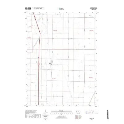
2018 Map of Blencoe
USGS Topo · Published 2018About this map
Blencoe and the southern outskirts of Onawa define the settlement pattern of this Western Iowa landscape, which is heavily managed by a network of drainage channels. The area's agricultural character is shaped by complex water engineering, featuring the McCandless Cleghorn Outlet, Fletcher Ditch, and Oliver-Lake Ditch. These waterways, alongside others like the Sherman Ditch and McNeil Ditch, reflect a long-standing effort to reclaim and maintain the fertile lowlands for farming. Near the Interstate, Graceland Cem provides a point of genealogical interest for local families. The presence of Guard Lake suggests the remnants of an older river system, now integrated into the modern grid of county roads like Co Hwy E60 and Co Rd K45. This map preserves the 2018 layout of these rural townships and their vital water-control infrastructure.
Find a feature on this map
45 named features on this map. Tap any name to fly to it.
Don’t see what you’re looking for? This feature index may not catch every label — zoom into the map to look around manually.
Map Details
Editions of this 2018 Blencoe Map
This is the sole edition of this map. No revisions or reprints were ever made.
Other maps of this area

1954 · Omaha
USGS Topo · 1:250,000

1954 · Fort Dodge
USGS Topo · 1:250,000

1955 · Sioux City
USGS Topo · 1:250,000

1955 · Fremont
USGS Topo · 1:250,000

1957 · Fremont
USGS Topo · 1:250,000

1957 · Omaha
USGS Topo · 1:250,000

1957 · Fort Dodge
USGS Topo · 1:250,000

1958 · Sioux City
USGS Topo · 1:250,000

1958 · Omaha
USGS Topo · 1:250,000

1958 · Fremont
USGS Topo · 1:250,000