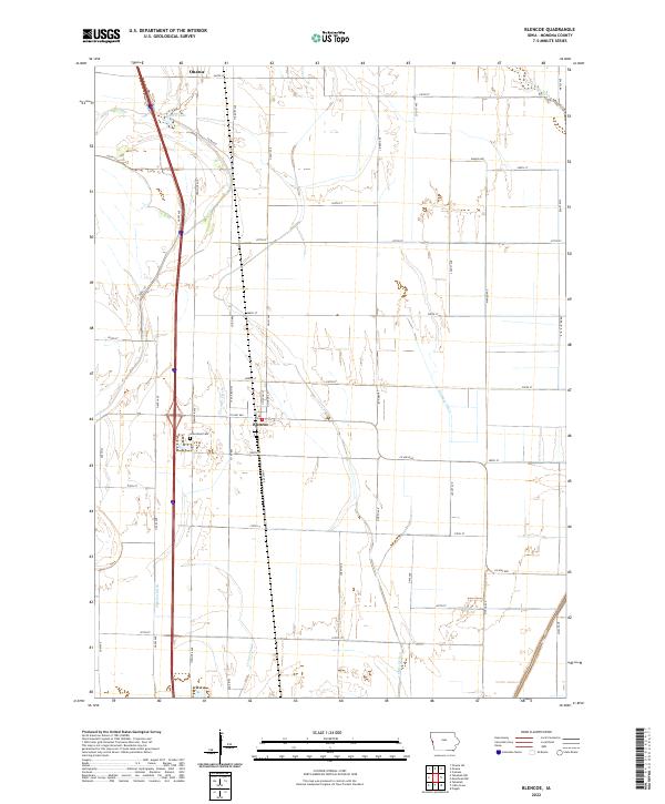
2022 Map of Blencoe
USGS Topo · Published 2022About this map
Blencoe and the southern outskirts of Onawa define the settlement pattern of this Monona County landscape, where the rectilinear grid of the Public Land Survey System is deeply etched into the Missouri River floodplain. The area's agricultural history is written in its complex drainage network, featuring significant engineering works like Fletcher Ditch, Sherman Ditch, and McNeil Ditch that transformed the prairie into productive farmland. These waterways, along with remnants like Guard Lake and the Oliver Lake Ditch, reflect a long-term effort to manage the local hydrology.
Find a feature on this map
45 named features on this map. Tap any name to fly to it.
Don’t see what you’re looking for? This feature index may not catch every label — zoom into the map to look around manually.
Map Details
Editions of this 2022 Blencoe Map
This is the sole edition of this map. No revisions or reprints were ever made.
Other maps of this area

1954 · Omaha
USGS Topo · 1:250,000

1954 · Fort Dodge
USGS Topo · 1:250,000

1955 · Sioux City
USGS Topo · 1:250,000

1955 · Fremont
USGS Topo · 1:250,000

1957 · Fremont
USGS Topo · 1:250,000

1957 · Omaha
USGS Topo · 1:250,000

1957 · Fort Dodge
USGS Topo · 1:250,000

1958 · Sioux City
USGS Topo · 1:250,000

1958 · Omaha
USGS Topo · 1:250,000

1958 · Fremont
USGS Topo · 1:250,000