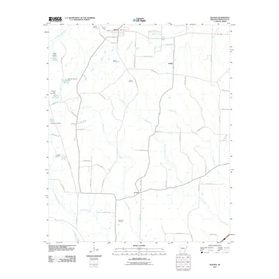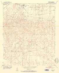
1951 Map of Blevins
USGS Topo · Published 1952About this map
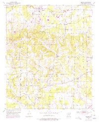
The town of Blevins serves as the focal point for this early 1950s survey of Hempstead County, centered on the intersection of rural life and the Prescott and Northwestern railroad. The landscape is dotted with numerous community anchors, particularly churches like Bells Chapel, Union Grove Ch, and Mt Moriah Ch, which reveal the distributed nature of settlement across townships like Wallaceburg and Garland. Significant for family researchers, the map identifies localized landmarks such as the Blevins Training Sch and several burial grounds, including Maxwell Cem and Oak Grove Cem. The drainage patterns of South Fork Ozan Creek and Terre Rouge Creek dictate the terrain, where scattered Gravel Pits indicate the small-scale extractive industries supporting the local road network during this era.
Find a feature on this map
37 named features on this map. Tap any name to fly to it.
Don’t see what you’re looking for? This feature index may not catch every label — zoom into the map to look around manually.
Map Details
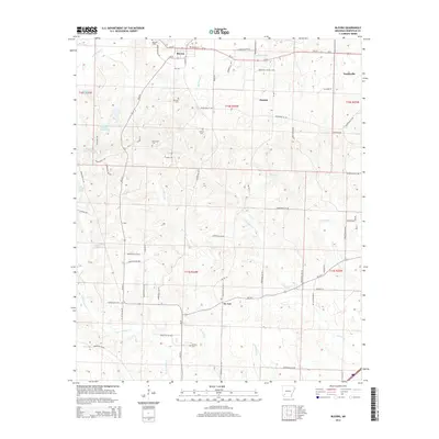
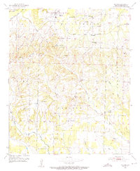
Editions of this 1951 Blevins Map
4 editions found
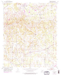
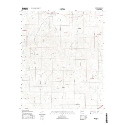
Historical Maps of Blevins Through Time
6 maps found