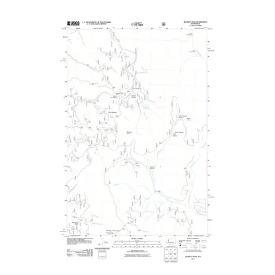
2011 Map of Blewett Pass
USGS Topo · Published 2011About this map
Blewett Pass serves as the central crossing point in this high-elevation landscape of the Wenatchee Mountains. The map details a complex network of mountain meadows and recreation sites, including Tronsen Meadow, Swauk Meadow, and the higher-altitude Upper Naneum Meadow. This area is characterized by its seasonal utility, shown through sites like the Swauk Pass Sno-Park and numerous primitive camps such as Stump Campground and Pine Campground.
Find a feature on this map
30 named features on this map. Tap any name to fly to it.
Don’t see what you’re looking for? This feature index may not catch every label — zoom into the map to look around manually.
Map Details
Editions of this 2011 Blewett Pass Map
This is the sole edition of this map. No revisions or reprints were ever made.
Other maps of this area

1897 · Mount Stuart
USGS Topo · 1:125,000

1902 · Mount Stuart
USGS Topo · 1:125,000

1913 · Wenatchee
USGS Topo · 1:62,500

1915 · Wenatchee
USGS Topo · 1:62,500

1920 · Colockum Pass
USGS Topo · 1:125,000

1922 · Colockum Pass
USGS Topo · 1:125,000

1957 · Wenatchee
USGS Topo · 1:250,000

1958 · Thorp
USGS Topo · 1:62,500

1961 · Liberty
USGS Topo · 1:62,500
1966 · Mission Peak
USGS Topo · 1:24,000