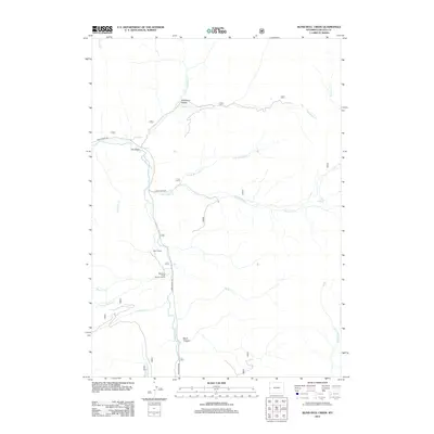
2012 Map of Blind Bull Creek
USGS Topo · Published 2012About this map
Greys River defines the central axis of this Lincoln County corridor, winding southward through a landscape of deep canyons and named hollows. The presence of the Box Y Ranch and the Meadows Forest Service Facility suggests a region of managed forest land and high-country ranching. These small outposts serve as primary human markers along the Greys River Rd, which follows the river's path through the valley.
Find a feature on this map
20 named features on this map. Tap any name to fly to it.
Don’t see what you’re looking for? This feature index may not catch every label — zoom into the map to look around manually.
Map Details
Editions of this 2012 Blind Bull Creek Map
This is the sole edition of this map. No revisions or reprints were ever made.
Other maps of this area

1921 · Afton
USGS Topo · 1:125,000

1931 · Jackson
USGS Topo · 1:125,000

1935 · Jackson
USGS Topo · 1:125,000

1955 · Driggs
USGS Topo · 1:250,000

1955 · Preston
USGS Topo · 1:250,000

1958 · Driggs
USGS Topo · 1:250,000

1958 · Preston
USGS Topo · 1:250,000

1962 · Driggs
USGS Topo · 1:250,000

1962 · Preston
USGS Topo · 1:250,000

1965 · Pickle Pass
USGS Topo · 1:24,000