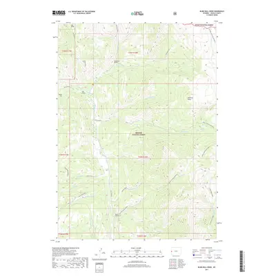
2017 Map of Blind Bull Creek
USGS Topo · Published 2017About this map
Bridger National Forest and Teton National Forest meet in this high-elevation landscape within Lincoln County. The Wyoming Range defines the eastern orientation of the map, marked by prominent summits like Deadman Peak and Cabin Creek Peak. A complex network of drainage basins feeds into the Greys River, including Blind Bull Cr which leads to the alpine waters of Blind Bull Lake.
Find a feature on this map
37 named features on this map. Tap any name to fly to it.
Don’t see what you’re looking for? This feature index may not catch every label — zoom into the map to look around manually.
Map Details
Editions of this 2017 Blind Bull Creek Map
This is the sole edition of this map. No revisions or reprints were ever made.
Other maps of this area

1921 · Afton
USGS Topo · 1:125,000

1931 · Jackson
USGS Topo · 1:125,000

1935 · Jackson
USGS Topo · 1:125,000

1955 · Driggs
USGS Topo · 1:250,000

1955 · Preston
USGS Topo · 1:250,000

1958 · Driggs
USGS Topo · 1:250,000

1958 · Preston
USGS Topo · 1:250,000

1962 · Driggs
USGS Topo · 1:250,000

1962 · Preston
USGS Topo · 1:250,000

1965 · Pickle Pass
USGS Topo · 1:24,000