
1899 Map of Block Island
USGS Topo · Published 1899About this map
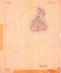
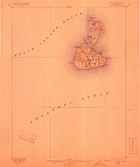
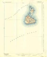
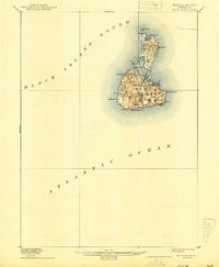
New Shoreham encompasses the entirety of this island landscape, as documented in an 1886 survey by the U.S. Coast and Geodetic Survey. This coastal study highlights the maritime importance of the area, featuring the Block Island N.L.H. at Sandy Point and the Block Island S.E.L.H. near the southeastern cliffs. The interior is a dense network of freshwater and salt bodies, including the expansive Great Salt Pond and smaller basins like Sachem Pond, Middle Pond, and Fresh Pond.
Find a feature on this map
29 named features on this map. Tap any name to fly to it.
Don’t see what you’re looking for? This feature index may not catch every label — zoom into the map to look around manually.
Map Details
Editions of this 1899 Block Island Map
5 editions found
Other maps of this area

1889 · Stonington
USGS Topo · 1:62,500

1889 · Charlestown
USGS Topo · 1:62,500

1889 · Newport
USGS Topo · 1:62,500

1889 · Block Island
USGS Topo · 1:62,500

1893 · Stonington
USGS Topo · 1:62,500

1894 · Block Island
USGS Topo · 1:62,500

1894 · Newport
USGS Topo · 1:62,500

1904 · Montauk
USGS Topo · 1:62,500

1904 · Newport
USGS Topo · 1:62,500

1919 · Charlestown
USGS Topo · 1:62,500