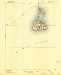
1899 Map of Block Island
USGS Topo · Published 1944About this map
New Shoreham serves as the central settlement on this late 19th-century survey of the island, which is defined by a landscape of glacial kettle ponds and prominent coastal landmarks. The interior is dotted with numerous small bodies of water, including Sands Pond, Mitchell Pond, and Fresh Pond, reflecting a complex hydrology vital to the island's early residents. Along the coast, maritime safety infrastructure is clearly marked, including the L.S. Station on the western shore and the Block Island S.E. L.H. perched atop the southern bluffs. Notable elevations such as Beacon Hill and Pilot Hill provide a sense of the undulating terrain, while the distinctive shape of Great Salt Pond dominates the northern half, nearly bisecting the island near Cormorant Point.
Find a feature on this map
29 named features on this map. Tap any name to fly to it.
Don’t see what you’re looking for? This feature index may not catch every label — zoom into the map to look around manually.
Map Details
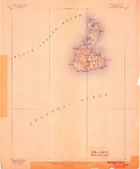
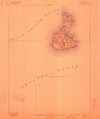
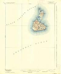
Editions of this 1899 Block Island Map
5 editions found
Other maps of this area

1889 · Stonington
USGS Topo · 1:62,500

1889 · Charlestown
USGS Topo · 1:62,500

1889 · Newport
USGS Topo · 1:62,500

1889 · Block Island
USGS Topo · 1:62,500

1893 · Stonington
USGS Topo · 1:62,500

1894 · Block Island
USGS Topo · 1:62,500

1894 · Newport
USGS Topo · 1:62,500

1899 · Block Island
USGS Topo · 1:62,500

1904 · Montauk
USGS Topo · 1:62,500

1904 · Newport
USGS Topo · 1:62,500