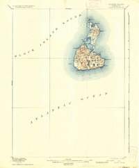
1899 Map of Block Island
USGS Topo · Published 1936About this map
New Shoreham on Block Island is depicted here during the late nineteenth century, revealing a landscape defined by its maritime isolation and glacial geology. Surveyed by Marcus Baker and Henry Gannett, the topography is dominated by numerous small freshwater bodies like Sands Pond and Fresh Pond, scattered among the undulating hills. The nearly bifurcated island shows Great Salt Pond at its center, with the essential navigational aids of the era, including a L.h. (lighthouse) and L.S. Station (Life-Saving Station), marking the precarious coastline. The map records the early configuration of the town and the placement of high points such as Beacon Hill and Pilot Hill, which served as critical landmarks for both islanders and mariners navigating the Block Island Sound.
Find a feature on this map
28 named features on this map. Tap any name to fly to it.
Don’t see what you’re looking for? This feature index may not catch every label — zoom into the map to look around manually.
Map Details
Editions of this 1899 Block Island Map
5 editions found
Other maps of this area

1889 · Stonington
USGS Topo · 1:62,500

1889 · Charlestown
USGS Topo · 1:62,500

1889 · Newport
USGS Topo · 1:62,500

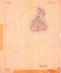
1889 · Block Island
USGS Topo · 1:62,500

1893 · Stonington
USGS Topo · 1:62,500

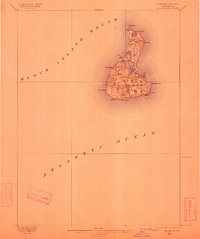
1894 · Block Island
USGS Topo · 1:62,500

1894 · Newport
USGS Topo · 1:62,500

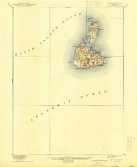
1899 · Block Island
USGS Topo · 1:62,500

1904 · Montauk
USGS Topo · 1:62,500

1904 · Newport
USGS Topo · 1:62,500