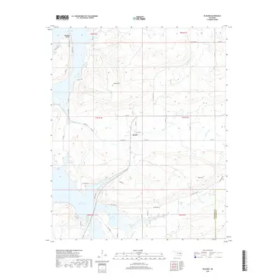
2018 Map of Blocker
USGS Topo · Published 2018About this map
The settlement of Blocker serves as the central focal point for this region of Pittsburg County, situated north of the Pittsburg Co Latimer Co border. The landscape is defined by the significant prominence of Scaffold Mtn and Blue Mtn, which rise above a network of waterways feeding into the expansive Eufaula Lake. To the northwest, Bristow Point projects into the lake, marking a transition from the elevated terrain to the shoreline. The drainage system is intricate, with Mathuldy Cr, Blue Cr, and Featherston Cr carving through the valleys. The rural character is reinforced by a dense grid of local roads, such as Jones Creek Rd and Ash Creek Rd, which provide access to the various creek basins and the rugged foothills that characterize this part of Oklahoma.
Find a feature on this map
49 named features on this map. Tap any name to fly to it.
Don’t see what you’re looking for? This feature index may not catch every label — zoom into the map to look around manually.
Map Details
Editions of this 2018 Blocker Map
This is the sole edition of this map. No revisions or reprints were ever made.
Other maps of this area

1898 · McAlester
USGS Topo · 1:125,000

1900 · Sansbois
USGS Topo · 1:125,000

1900 · Canadian
USGS Topo · 1:125,000

1901 · Tuskahoma
USGS Topo · 1:125,000

1908 · Tuskahoma
USGS Topo · 1:125,000

1909 · Mc Alester
USGS Topo · 1:125,000

1909 · Tuskahoma
USGS Topo · 1:125,000

1909 · Sans Bois
USGS Topo · 1:125,000

1911 · Sansbois
USGS Topo · 1:125,000

1946 · Fort Smith
USGS Topo · 1:250,000