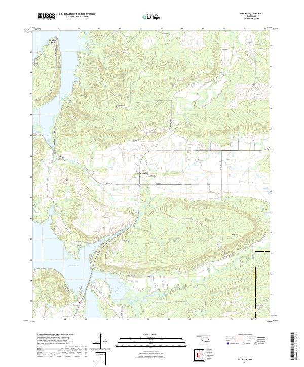
2022 Map of Blocker
USGS Topo · Published 2022About this map
Blocker sits at the heart of this landscape, where the hilly terrain of the Oklahoma interior meets the expanded reach of Eufaula Lake. The geography is defined by a series of prominent ridges and peaks, most notably Scaffold Mtn and Blue Mtn in the east, which overlook a complex drainage network. Waterways like Mathuldy Cr, Blue Creek, and Featherston Cr wind through the valleys, illustrating the transition from traditional creek-fed ranching land to the contemporary shoreline economy. Along the western edge, Bristow Point and Lakeshore Dr mark the development of the lakefront, while a grid of rural routes such as Blocker Rd and Jones Creek Rd provides access to the interior. The map also traces the boundary between Pittsburg and Latimer counties, showing how these political lines intersect with the natural topography of the region.
Find a feature on this map
49 named features on this map. Tap any name to fly to it.
Don’t see what you’re looking for? This feature index may not catch every label — zoom into the map to look around manually.
Map Details
Editions of this 2022 Blocker Map
This is the sole edition of this map. No revisions or reprints were ever made.
Other maps of this area

1898 · McAlester
USGS Topo · 1:125,000

1900 · Sansbois
USGS Topo · 1:125,000

1900 · Canadian
USGS Topo · 1:125,000

1901 · Tuskahoma
USGS Topo · 1:125,000

1908 · Tuskahoma
USGS Topo · 1:125,000

1909 · Mc Alester
USGS Topo · 1:125,000

1909 · Tuskahoma
USGS Topo · 1:125,000

1909 · Sans Bois
USGS Topo · 1:125,000

1911 · Sansbois
USGS Topo · 1:125,000

1946 · Fort Smith
USGS Topo · 1:250,000