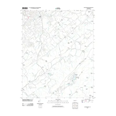
2010 Map of Blockhouse
USGS Topo · Published 2010About this map
Pea Ridge and the outskirts of Belle Meade define the residential character of this landscape south of Maryville. The terrain transitions from these settled areas into the prominent ridges and knobs of the southern Appalachian foothills, marked by the distinctive Coon Hollow Knobs and Black Sulphur Knobs. Historically, the area supported a rural economy evidenced by Whites Mill on Crooked Creek and numerous family-named cemeteries like the Pecks Chapel Cemetery and Russell Cemetery.
Find a feature on this map
128 named features on this map. Tap any name to fly to it.
Don’t see what you’re looking for? This feature index may not catch every label — zoom into the map to look around manually.
Map Details
Editions of this 2010 Blockhouse Map
This is the sole edition of this map. No revisions or reprints were ever made.
Other maps of this area

1886 · Knoxville
USGS Topo · 1:125,000

1892 · Knoxville
USGS Topo · 1:125,000

1894 · Knoxville
USGS Topo · 1:125,000

1895 · Loudon
USGS Topo · 1:125,000

1895 · Knoxville
USGS Topo · 1:125,000

1901 · Knoxville
USGS Topo · 1:125,000

1935 · Binfield
USGS Topo · 1:24,000

1935 · Knoxville
USGS Topo · 1:48,000

1935 · Maryville
USGS Topo · 1:24,000

1935 · Wildwood
USGS Topo · 1:24,000