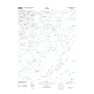
2013 Map of Blockhouse
USGS Topo · Published 2013About this map
Montvale Springs and the surrounding foothills of Blount County define this transition from the southern outskirts of Maryville into the higher elevations of the Chilhowee Mountains. The landscape is marked by a dense concentration of residential subdivisions like Sherwood Forest, Windsor Park, and Wimbledon, which give way to the more rural character of the Sixmile and Blockhouse communities. Notable water features, including Lake in the Sky and Sandy Stand Lake, are tucked into the higher ridges near The Flats, while Lanier Lake and Lambert Lake sit at lower elevations near the Sixmile Creek drainage.
Find a feature on this map
85 named features on this map. Tap any name to fly to it.
Don’t see what you’re looking for? This feature index may not catch every label — zoom into the map to look around manually.
Map Details
Editions of this 2013 Blockhouse Map
This is the sole edition of this map. No revisions or reprints were ever made.
Other maps of this area

1886 · Knoxville
USGS Topo · 1:125,000

1892 · Knoxville
USGS Topo · 1:125,000

1894 · Knoxville
USGS Topo · 1:125,000

1895 · Loudon
USGS Topo · 1:125,000

1895 · Knoxville
USGS Topo · 1:125,000

1901 · Knoxville
USGS Topo · 1:125,000

1935 · Binfield
USGS Topo · 1:24,000

1935 · Knoxville
USGS Topo · 1:48,000

1935 · Maryville
USGS Topo · 1:24,000

1935 · Wildwood
USGS Topo · 1:24,000