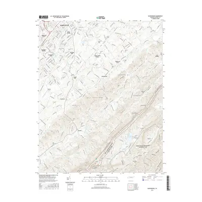
2016 Map of Blockhouse
USGS Topo · Published 2016About this map
Maryville stands as the primary urban hub in the northwestern corner of this study, while the landscape quickly transitions into the suburban developments of Highland Acres and Heritage Hills. Moving southeast, the terrain rises into the Black Sulphur Knobs and the prominent ridgeline of Chilhowee Mountain. This area serves as a gateway to the Great Smoky Mountains National Park, which dominates the southeastern quadrant.
Find a feature on this map
82 named features on this map. Tap any name to fly to it.
Don’t see what you’re looking for? This feature index may not catch every label — zoom into the map to look around manually.
Map Details
Editions of this 2016 Blockhouse Map
This is the sole edition of this map. No revisions or reprints were ever made.
Other maps of this area

1886 · Knoxville
USGS Topo · 1:125,000

1892 · Knoxville
USGS Topo · 1:125,000

1894 · Knoxville
USGS Topo · 1:125,000

1895 · Loudon
USGS Topo · 1:125,000

1895 · Knoxville
USGS Topo · 1:125,000

1901 · Knoxville
USGS Topo · 1:125,000

1935 · Binfield
USGS Topo · 1:24,000

1935 · Knoxville
USGS Topo · 1:48,000

1935 · Maryville
USGS Topo · 1:24,000

1935 · Wildwood
USGS Topo · 1:24,000