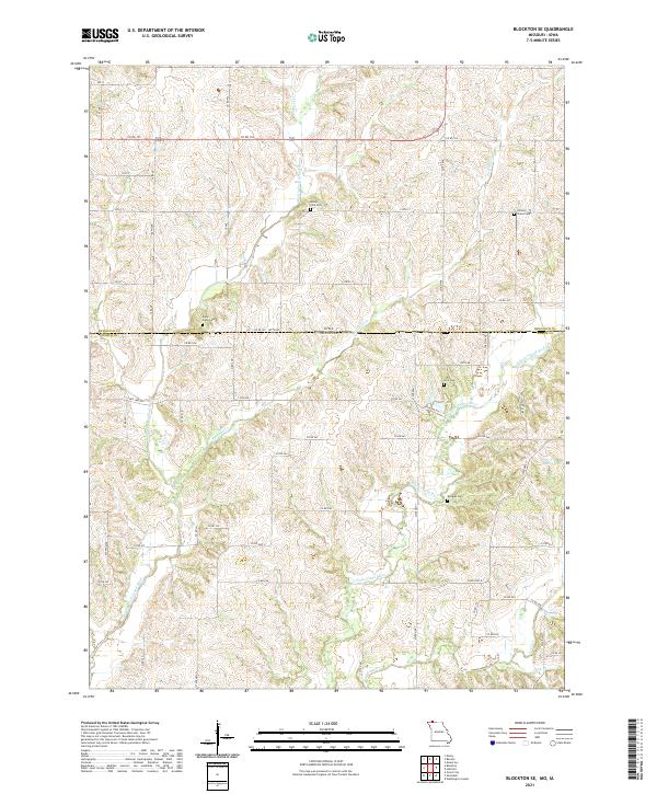
2021 Map of Blockton SE
USGS Topo · Published 2021About this map
The borderlands of southern Iowa and northern Missouri are defined here by the winding systems of the Middle Fork Grand River and East Fork Grand River. This rural landscape, captured in recent years, reveals a topography of dendritic drainage patterns where smaller tributaries like Fiddlers Cr and Fletchall Cr feed into the larger river valleys. The land use is primarily agricultural, evidenced by a dense grid of county roads such as Co RD j55 and State HWY PP that navigate the ridges and lowlands.
Find a feature on this map
46 named features on this map. Tap any name to fly to it.
Don’t see what you’re looking for? This feature index may not catch every label — zoom into the map to look around manually.
Map Details
Editions of this 2021 Blockton SE Map
This is the sole edition of this map. No revisions or reprints were ever made.
Other maps of this area

1940 · Blockton
USGS Topo · 1:62,500

1942 · Grant City
USGS Topo · 1:62,500

1943 · Grant City
USGS Topo · 1:62,500

1943 · Blockton
USGS Topo · 1:62,500

1945 · Mount Ayr
USGS Topo · 1:62,500

1947 · Mount Ayr
USGS Topo · 1:62,500

1948 · Bethany
USGS Topo · 1:62,500

1955 · Nebraska City
USGS Topo · 1:250,000

1957 · Nebraska City
USGS Topo · 1:250,000

1958 · Nebraska City
USGS Topo · 1:250,000